
1949 Map of Spartanburg
USGS Topo · Published 1949About this map
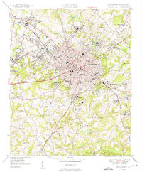
Spartanburg serves as a dense hub of post-war textile manufacturing and education, with the campus of Wofford College and Converse College anchoring the urban core. The city's growth is clearly shaped by a complex rail network including the Southern, Piedmont and Northern, and Charleston and Western Carolina railroads, which connect industrial areas like Saxon and Drayton to the wider region. Outside the central city, the landscape transitions into smaller settlements and community landmarks such as the State Deaf and Blind Sch and the Memorial Airport. Genealogy and local history researchers will find a detailed distribution of family and community spaces, from Magnolia Cem and Lincoln Memorial Cem to rural congregations at Friendship Ch and Atchison Chapel. The map reveals the early suburban expansion of neighborhoods like Converse Heights and Park Hills before the later massive highway developments altered the city's character.
Find a feature on this map
76 named features on this map. Tap any name to fly to it.
Don’t see what you’re looking for? This feature index may not catch every label — zoom into the map to look around manually.
Map Details
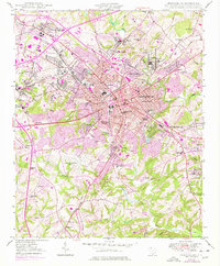
Editions of this 1949 Spartanburg Map
3 editions found
Other maps of this area

1907 · Saluda
USGS Topo · 1:125,000

1935 · Greer
USGS Topo · 1:48,000

1938 · Greer
USGS Topo · 1:62,500

1941 · Spartanburg
USGS Topo · 1:250,000

1947 · Spartanburg
USGS Topo · 1:62,500

1949 · Spartanburg
USGS Topo · 1:62,500

1953 · Spartanburg
USGS Topo · 1:250,000

1953 · Charlotte
USGS Topo · 1:250,000

1954 · Charlotte
USGS Topo · 1:250,000

1954 · Greenville
USGS Topo · 1:250,000