
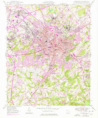
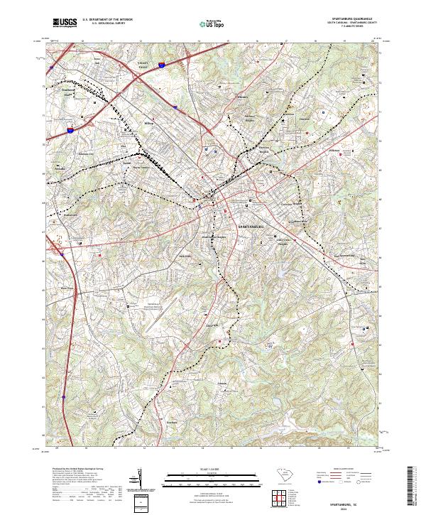
1963 Map of Spartanburg
USGS Topo · Published 1963About this map
The Piedmont and Sandhills regions of South Carolina are captured here during a period of significant mid-century growth, anchored by the state capital at Columbia and the industrial hub of Spartanburg. This Army Map Service compilation highlights a landscape transitioning from agrarian roots to a more integrated regional economy, defined by the sprawling corridors of the Southern Railway and the Seaboard Air Line. Major water management projects are prominent features, including the vast Lake Murray and reservoirs like Wateree Pond and Fishing Creek Pond along the Catawba River. Large tracts of managed land, such as the Fort Jackson Military Reservation and the Sumter National Forest, illustrate the massive federal and state presence in the local geography, while the Sandhills terrain provides a distinct geological break across the center of the state.
Find a feature on this map
57 named features on this map. Tap any name to fly to it.
Don’t see what you’re looking for? This feature index may not catch every label — zoom into the map to look around manually.
Map Details
Editions of this 1963 Spartanburg Map
This is the sole edition of this map. No revisions or reprints were ever made.
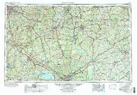
Historical Maps of Abney Crossroads Through Time
11 maps found

1941 Spartanburg
Spartanburg County, SC

1947 Spartanburg
Spartanburg County, SC

1949 Spartanburg
Spartanburg County, SC
1949 Spartanburg
Spartanburg County, SC
1953 Spartanburg
Spartanburg County, SC

1960 Spartanburg
Spartanburg County, SC
1963 Spartanburg
Spartanburg County, SC

1964 Spartanburg
Spartanburg County, SC
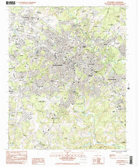
1983 Spartanburg
Spartanburg County, SC
1986 Spartanburg
Spartanburg County, SC
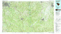
2024 Spartanburg
Spartanburg County, SC