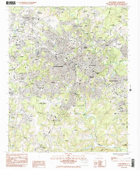
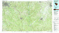
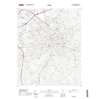
1983 Map of Spartanburg
USGS Topo · Published 1983About this map
Spartanburg serves as the focal point of this 1983 provisional survey, revealing a dense urban core supported by a network of textile-era settlements and academic institutions. The city is defined by its educational landscape, including Wofford College, Converse College, and the Univ of S C Spartanburg, alongside the specialized campus of the State School for the Deaf and Blind. Industrial roots are visible in the peripheral communities of Drayton, Saxon, and Arkwright, which were historically tied to the region's manufacturing base.
Find a feature on this map
97 named features on this map. Tap any name to fly to it.
Don’t see what you’re looking for? This feature index may not catch every label — zoom into the map to look around manually.
Map Details
Editions of this 1983 Spartanburg Map
2 editions found
Historical Maps of Spartanburg Through Time
15 maps found

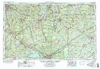
1941 Spartanburg
Spartanburg County, SC

1947 Spartanburg
Spartanburg County, SC

1949 Spartanburg
Spartanburg County, SC
1949 Spartanburg
Spartanburg County, SC
1953 Spartanburg
Spartanburg County, SC

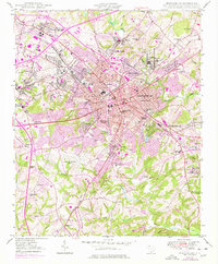
1960 Spartanburg
Spartanburg County, SC

1963 Spartanburg
Spartanburg County, SC

1964 Spartanburg
Spartanburg County, SC
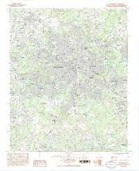
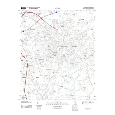
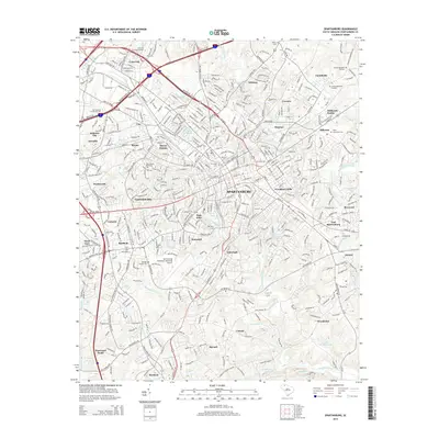
1983 Spartanburg
Spartanburg County, SC
1986 Spartanburg
Spartanburg County, SC
2011 Spartanburg
Spartanburg County, SC
2014 Spartanburg
Spartanburg County, SC
2017 Spartanburg
Spartanburg County, SC
2020 Spartanburg
Spartanburg County, SC
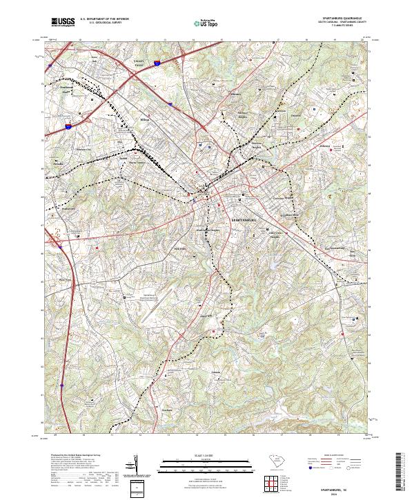
2024 Spartanburg
Spartanburg County, SC