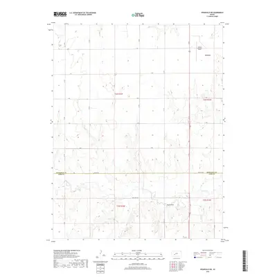
2018 Map of Spearville NW
USGS Topo · Published 2018About this map
The boundary between Hodgeman Co and Ford Co cuts through this rural Kansas landscape, where the High Plains terrain is etched by drainage networks. To the north, the seat of Hodgeman County, Jetmore, serves as the primary hub of activity, supported by the Jetmore Municipal Airport. The landscape transitions from the grid-aligned agricultural sections of the northern townships into the more dissected breaks of the south, where Saw Log Cr and Duck Cr have carved intricate topography into the plains. Notable elevations like Pullers Peak rise above the surrounding creek beds, offering distinct landmarks in a region defined by its wide-reaching drainage system and sparse, utilitarian road network. This survey documents the intersection of precise section-line roads and the winding natural paths of Elm Cr and other waterways that dictate the local geography.
Find a feature on this map
29 named features on this map. Tap any name to fly to it.
Don’t see what you’re looking for? This feature index may not catch every label — zoom into the map to look around manually.
Map Details
Editions of this 2018 Spearville NW Map
This is the sole edition of this map. No revisions or reprints were ever made.
Other maps of this area

1892 · Ness
USGS Topo · 1:125,000

1892 · Dodge
USGS Topo · 1:125,000

1892 · Spearville
USGS Topo · 1:125,000

1894 · Spearville
USGS Topo · 1:125,000

1894 · Ness
USGS Topo · 1:125,000

1955 · Great Bend
USGS Topo · 1:250,000

1955 · Pratt
USGS Topo · 1:250,000

1955 · Dodge City
USGS Topo · 1:250,000

1955 · Scott City
USGS Topo · 1:250,000

1957 · Great Bend
USGS Topo · 1:250,000