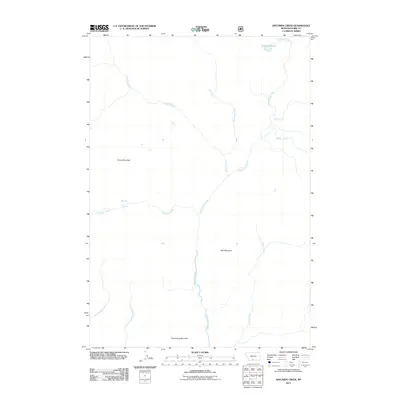
2011 Map of Specimen Creek
USGS Topo · Published 2011About this map
Hellroaring Creek dominates the central drainage of this Park County landscape, flowing southward between prominent elevations. The high-altitude terrain is defined by Horse Mountain in the west and Bull Mountain further east, with Hellroaring Mountain marking the southern reaches of the quadrangle. This 2011 survey reveals an environment shaped by water, where Specimen Creek feeds into the dramatic Specimen Falls and another unnamed Waterfall. In the northern territory, Carpenter Lake sits near the headwaters of Grizzly Creek, illustrating the glacial or high-alpine character of the region. The lack of roads or structures highlights a protected or primitive wilderness area where the natural drainage network of Coyote Creek, Beaver Creek, and Horse Creek remains the primary organizing feature of the land.
Find a feature on this map
16 named features on this map. Tap any name to fly to it.
Don’t see what you’re looking for? This feature index may not catch every label — zoom into the map to look around manually.
Map Details
Editions of this 2011 Specimen Creek Map
This is the sole edition of this map. No revisions or reprints were ever made.
Other maps of this area

1885 · Gallatin
USGS Topo · 1:125,000

1885 · Gallatin
USGS Topo · 1:125,000

1886 · Canyon
USGS Topo · 1:125,000

1891 · Livingston
USGS Topo · 1:250,000

1893 · Livingston
USGS Topo · 1:250,000

1895 · Canyon
USGS Topo · 1:125,000

1896 · Canyon
USGS Topo · 1:125,000

1901 · Canyon
USGS Topo · 1:125,000

1901 · Gallatin
USGS Topo · 1:125,000

1907 · Canyon
USGS Topo · 1:125,000