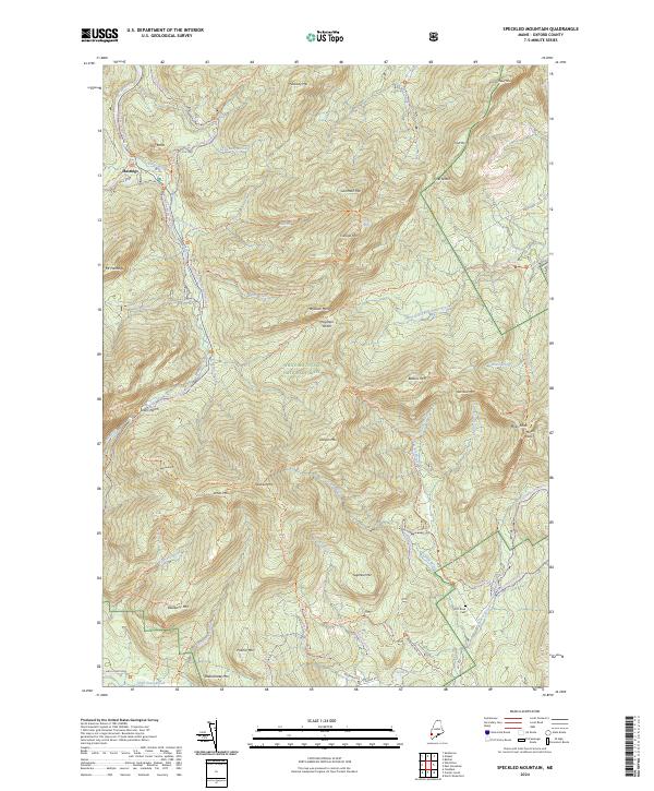
2024 Map of Speckled Mountain
USGS Topo · Published 2024About this map
Hastings stands at the confluence of the Wild River and Evans Brook in this mountainous region of Oxford County. The landscape is defined by the high peaks of the White Mountain National Forest, specifically the protected terrain of the Caribou-Speckled Mountain Wilderness. This area is marked by a complex network of historic paths and backcountry routes, including the Kings Hwy and the Gilead-Snoma Trl. From the high elevations of Speckled Mtn and Caribou Mtn, the drainage basins flow into several named brooks and rivers, such as Great Brook and the West Branch Pleasant River. In the southeastern corner, the small Hut Road Cem provides a point of genealogical interest near Beaver Brook. The map details the transition from the steep grades of Evans Notch to the water bodies like Little Pond and Shell Pond Brook in the south.
Find a feature on this map
74 named features on this map. Tap any name to fly to it.
Don’t see what you’re looking for? This feature index may not catch every label — zoom into the map to look around manually.
Map Details
Editions of this 2024 Speckled Mountain Map
This is the sole edition of this map. No revisions or reprints were ever made.
Other maps of this area

1893 · Gorham
USGS Topo · 1:62,500

1894 · North Conway
USGS Topo · 1:62,500

1896 · North Conway
USGS Topo · 1:62,500

1896 · Gorham
USGS Topo · 1:62,500

1909 · Fryeburg
USGS Topo · 1:62,500

1911 · Fryeburg
USGS Topo · 1:62,500

1914 · Bethel
USGS Topo · 1:62,500

1937 · Gorham
USGS Topo · 1:48,000

1940 · Bethel
USGS Topo · 1:62,500

1941 · Bethel
USGS Topo · 1:62,500