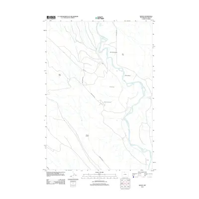
2012 Map of Spence
USGS Topo · Published 2012About this map
The Bighorn River meanders through this portion of Big Horn County, shaping a landscape of low-lying meadows and significant industrial operations. Industrial history is anchored by the Spence Dome Oil Field, which is accessed by specialized routes like Spence Oil Field Rd and Spruce Oil Field Rd. These energy resources coexist with the traditional agricultural footprint of the Eberhard Ranch and the small settlement of Himes along the river banks.
Find a feature on this map
17 named features on this map. Tap any name to fly to it.
Don’t see what you’re looking for? This feature index may not catch every label — zoom into the map to look around manually.
Map Details
Editions of this 2012 Spence Map
This is the sole edition of this map. No revisions or reprints were ever made.
Other maps of this area

1955 · Cody
USGS Topo · 1:250,000

1958 · Cody
USGS Topo · 1:250,000

1962 · Cody
USGS Topo · 1:250,000

1964 · Kane
USGS Topo · 1:24,000

1964 · Lovell Lakes
USGS Topo · 1:24,000
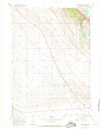
1966 · Sheep Canyon
USGS Topo · 1:24,000
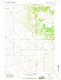
1966 · Cottonwood Canyon
USGS Topo · 1:24,000

1966 · North Emblem Reservoir
USGS Topo · 1:24,000
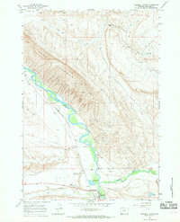
1966 · Greybull North
USGS Topo · 1:24,000

1966 · Emblem SE
USGS Topo · 1:24,000