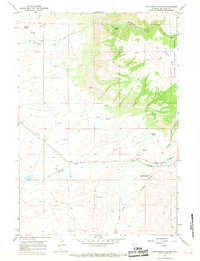
1966 Map of Cottonwood Canyon
USGS Topo · Published 1969About this map
The Bighorn National Forest boundary defines the eastern edge of this landscape, where the terrain drops sharply from the high plateau of Lowmiller Bench into the deep incision of Cottonwood Creek Canyon. In the late 1960s, this area of Big Horn County was characterized by its complex hydrology, with numerous water sources like Harmon Springs and Moncur Springs feeding into drainage systems such as Five Springs Creek and Sheep Creek. The presence of Melody Falls and various prospects suggest a geography that was actively navigated by local ranchers and mineral seekers.
Find a feature on this map
30 named features on this map. Tap any name to fly to it.
Don’t see what you’re looking for? This feature index may not catch every label — zoom into the map to look around manually.
Map Details
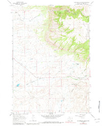
Editions of this 1966 Cottonwood Canyon Map
2 editions found
Other maps of this area

1898 · Bald Mountain
USGS Topo · 1:125,000

1901 · Bald Mountain
USGS Topo · 1:125,000

1955 · Cody
USGS Topo · 1:250,000

1955 · Sheridan
USGS Topo · 1:250,000

1958 · Cody
USGS Topo · 1:250,000

1958 · Sheridan
USGS Topo · 1:250,000

1960 · Medicine Wheel
USGS Topo · 1:24,000

1960 · Mexican Hill
USGS Topo · 1:24,000

1960 · Bear Creek Ranch
USGS Topo · 1:24,000

1962 · Sheridan
USGS Topo · 1:250,000