
1960 Map of Bear Creek Ranch
USGS Topo · Published 1962About this map
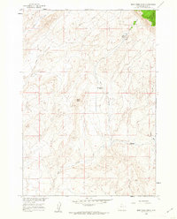
Bear Creek Ranch serves as a primary human landmark in this high-altitude landscape within the Bighorn National Forest. Surveyed at the turn of the 1960s, the terrain is defined by a network of drainage systems including Bear Creek, Salt Creek, and Crystal Creek. The map documents early water management efforts in the region, visible through the Lampman Reservoirs in the northeast.
Find a feature on this map
13 named features on this map. Tap any name to fly to it.
Don’t see what you’re looking for? This feature index may not catch every label — zoom into the map to look around manually.
Map Details
Editions of this 1960 Bear Creek Ranch Map
2 editions found
Other maps of this area

1898 · Bald Mountain
USGS Topo · 1:125,000

1901 · Bald Mountain
USGS Topo · 1:125,000

1955 · Cody
USGS Topo · 1:250,000

1955 · Sheridan
USGS Topo · 1:250,000

1958 · Cody
USGS Topo · 1:250,000

1958 · Sheridan
USGS Topo · 1:250,000

1960 · Medicine Wheel
USGS Topo · 1:24,000

1960 · Devils Kitchen
USGS Topo · 1:24,000

1960 · Shell
USGS Topo · 1:24,000
1960 · Bald Mountain
USGS Topo · 1:24,000