
1960 Map of Shell
USGS Topo · Published 1962About this map
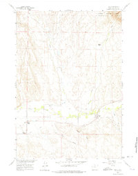
Shell serves as the focal point of this agricultural and mountain-fringe landscape at the edge of the Bighorn National Forest. The 1960 field check reveals a community deeply tied to its water management systems, including the Shell Canal, Whaley Ditch, and High Line Ditch, which divert the flow of Shell Creek to support local ranching operations. The presence of Whaley Cem and family-named landmarks like Flitners Corner and Reeves Corner highlight the area's genealogical roots. The topography transitions from the alluvial valleys of Beaver Creek and Red Canyon Creek into the rising terrain of the national forest to the northeast, where Elkhorn Ranch sits near the headwaters of Horse Creek.
Find a feature on this map
20 named features on this map. Tap any name to fly to it.
Don’t see what you’re looking for? This feature index may not catch every label — zoom into the map to look around manually.
Map Details
Editions of this 1960 Shell Map
2 editions found
Other maps of this area

1898 · Bald Mountain
USGS Topo · 1:125,000

1901 · Bald Mountain
USGS Topo · 1:125,000

1955 · Sheridan
USGS Topo · 1:250,000

1958 · Sheridan
USGS Topo · 1:250,000

1960 · White Sulphur Spring
USGS Topo · 1:24,000

1960 · Black Mountain
USGS Topo · 1:24,000

1960 · Manderson NE
USGS Topo · 1:24,000

1960 · Hidden Tepee Creek
USGS Topo · 1:24,000

1960 · Devils Kitchen
USGS Topo · 1:24,000

1960 · Bear Creek Ranch
USGS Topo · 1:24,000