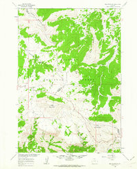
1960 Map of Bald Mountain
USGS Topo · Published 1962About this map
The high peaks of the Bighorn National Forest dominate this 1960 field survey, where the boundary between Big Horn and Sheridan counties cuts across the alpine terrain. At the heart of the area lies the Bald Mountain City (Site), representing a brief moment of historical settlement near the headwaters of Hall Creek. The topography is defined by prominent summits including Bald Mountain, Little Bald Mountain, and Duncum Mountain, which reach heights that support seasonal grazing and forest management.
Find a feature on this map
24 named features on this map. Tap any name to fly to it.
Don’t see what you’re looking for? This feature index may not catch every label — zoom into the map to look around manually.
Map Details
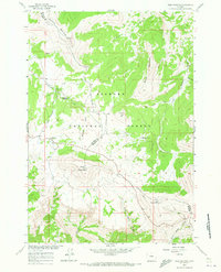
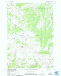
Editions of this 1960 Bald Mountain Map
3 editions found
Other maps of this area

1898 · Bald Mountain
USGS Topo · 1:125,000

1901 · Bald Mountain
USGS Topo · 1:125,000

1955 · Sheridan
USGS Topo · 1:250,000

1958 · Sheridan
USGS Topo · 1:250,000

1960 · Medicine Wheel
USGS Topo · 1:24,000

1960 · Boyd Ridge
USGS Topo · 1:24,000

1960 · Mexican Hill
USGS Topo · 1:24,000

1960 · Hidden Tepee Creek
USGS Topo · 1:24,000

1960 · Bear Creek Ranch
USGS Topo · 1:24,000
1960 · Leavitt Reservoir
USGS Topo · 1:24,000