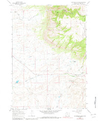
1966 Map of Cottonwood Canyon
USGS Topo · Published 1982About this map
Bighorn National Forest dominates the eastern landscape of this Wyoming survey, where the dramatic elevation change is marked by Melody Falls and the steep descent into Cottonwood Creek Canyon. The terrain transitions from the high Lowmiller Bench toward the basin, crisscrossed by a network of water sources including Harmon Springs, Moncur Springs, and Five Springs Creek. Human activity in the mid-1960s is evidenced by numerous Prospects and Quarries scattered across the slopes, alongside the High Ditch irrigation feature. A Rainbow Canyon Observation Point overlooks the deep incision of Rainbow Canyon, while a series of Pack Trails and Jeep Trails provide the primary means of navigating this complex system of draws and gulches, such as Black Gulch and Triple Draw.
Find a feature on this map
29 named features on this map. Tap any name to fly to it.
Don’t see what you’re looking for? This feature index may not catch every label — zoom into the map to look around manually.
Map Details
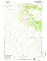
Editions of this 1966 Cottonwood Canyon Map
2 editions found
Other maps of this area

1898 · Bald Mountain
USGS Topo · 1:125,000

1901 · Bald Mountain
USGS Topo · 1:125,000

1955 · Cody
USGS Topo · 1:250,000

1955 · Sheridan
USGS Topo · 1:250,000

1958 · Cody
USGS Topo · 1:250,000

1958 · Sheridan
USGS Topo · 1:250,000

1960 · Medicine Wheel
USGS Topo · 1:24,000

1960 · Mexican Hill
USGS Topo · 1:24,000

1960 · Bear Creek Ranch
USGS Topo · 1:24,000

1962 · Sheridan
USGS Topo · 1:250,000