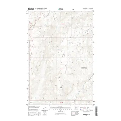
2014 Map of Spencer Butte
USGS Topo · Published 2014About this map
Spencer Butte and Spencer Peak dominate this section of the Gifford Pinchot National Forest in Washington. The terrain is defined by a series of drainages and high meadows, including Wright Meadow and Spencer Meadow. To the south, the Lewis River cuts through the landscape, featuring the notable Lower Falls near the confluence with Chickoon Cr. The 2014 mapping reveals a complex network of forest development roads, such as Nat For Dev Rd 93 and Nat For Dev Rd 25, which provide access to these high-elevation points and the secluded basins of Cussed Hollow. This era of mapping emphasizes the intersection of natural water systems like Clear Cr and Wright Cr with the infrastructure required for forest management and recreational access to landmarks like Breezy Point.
Find a feature on this map
29 named features on this map. Tap any name to fly to it.
Don’t see what you’re looking for? This feature index may not catch every label — zoom into the map to look around manually.
Map Details
Editions of this 2014 Spencer Butte Map
This is the sole edition of this map. No revisions or reprints were ever made.
Other maps of this area

1919 · Mount St Helens
USGS Topo · 1:125,000

1926 · Steamboat Mtn
USGS Topo · 1:125,000

1931 · Steamboat Mtn
USGS Topo · 1:125,000

1950 · Yakima
USGS Topo · 1:250,000

1953 · Hoquiam
USGS Topo · 1:250,000

1957 · Hoquiam
USGS Topo · 1:250,000

1957 · Spirit Lake
USGS Topo · 1:62,500

1958 · Mt St. Helens
USGS Topo · 1:62,500

1958 · Yakima
USGS Topo · 1:250,000

1958 · Hoquiam
USGS Topo · 1:250,000