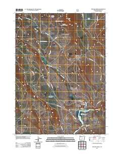
2011 Map of Spencer Creek
USGS Topo · Published 2011About this map
Spencer Creek and Clover Creek define the drainage patterns of this high-elevation timber and range landscape in southern Oregon during the early 21st century. The map centers on the confluence of these waterways as they flow south toward the Klamath River, where the John C Boyle Reservoir dominates the lower quadrant. This area, managed largely by the U.S. Forest Service, reflects a landscape of resource management and rural infrastructure, characterized by a dense network of forest roads including Clover Creek Rd and Keno Access Rd.
Find a feature on this map
22 named features on this map. Tap any name to fly to it.
Don’t see what you’re looking for? This feature index may not catch every label — zoom into the map to look around manually.
Map Details
Editions of this 2011 Spencer Creek Map
This is the sole edition of this map. No revisions or reprints were ever made.
Other maps of this area

1889 · Klamath
USGS Topo · 1:250,000

1891 · Ashland
USGS Topo · 1:250,000

1893 · Ashland
USGS Topo · 1:250,000

1894 · Klamath
USGS Topo · 1:250,000

1897 · Ashland
USGS Topo · 1:250,000

1955 · Lake O' Woods
USGS Topo · 1:62,500

1955 · Surveyor Mtn
USGS Topo · 1:62,500

1955 · Klamath Falls
USGS Topo · 1:250,000

1955 · Medford
USGS Topo · 1:250,000

1957 · Medford
USGS Topo · 1:250,000