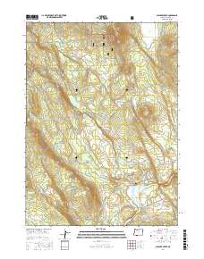
2017 Map of Spencer Creek
USGS Topo · Published 2017About this map
Winema National Forest encompasses much of this timber-rich landscape in Klamath County, where high-altitude springs and reservoirs feed the local watershed. The southern portion of the map is defined by the Klamath River, specifically the reaches of the John C Boyle Reservoir. Near the river, Spencer Cem and Spencer Bridge mark historic points of crossing and early habitation along the water. The intricate network of Forest Service and county roads, such as Topsy Grade Rd and Slip Easy Rd, follows the drainage patterns established by Spencer Creek and Clover Cr. Multiple named springs, including Weyco Clover Spr and several near Clover Butte, indicate the vital role of water management for both local ecology and land use in this part of southern Oregon.
Find a feature on this map
33 named features on this map. Tap any name to fly to it.
Don’t see what you’re looking for? This feature index may not catch every label — zoom into the map to look around manually.
Map Details
Editions of this 2017 Spencer Creek Map
This is the sole edition of this map. No revisions or reprints were ever made.
Other maps of this area

1889 · Klamath
USGS Topo · 1:250,000

1891 · Ashland
USGS Topo · 1:250,000

1893 · Ashland
USGS Topo · 1:250,000

1894 · Klamath
USGS Topo · 1:250,000

1897 · Ashland
USGS Topo · 1:250,000

1955 · Lake O' Woods
USGS Topo · 1:62,500

1955 · Surveyor Mtn
USGS Topo · 1:62,500

1955 · Klamath Falls
USGS Topo · 1:250,000

1955 · Medford
USGS Topo · 1:250,000

1957 · Medford
USGS Topo · 1:250,000