
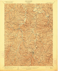
1907 Map of Spencer
USGS Topo · Published 1907About this map
Spencer serves as the focal point of this 1907 survey, situated at the confluence of several prominent drainage basins including Reedy Creek and the Little Kanawha River. The landscape is a intricate network of hollows and ridges, punctuated by numerous rural institutions that define early twentieth-century Roane County life. The Ravenswood and Spencer Turnpike cuts through the terrain, providing a vital connection for settlements like Reedyville, Kyger, and Alvord.
Find a feature on this map
117 named features on this map. Tap any name to fly to it.
Don’t see what you’re looking for? This feature index may not catch every label — zoom into the map to look around manually.
Map Details
Editions of this 1907 Spencer Map
2 editions found
Other maps of this area

1906 · Elizabeth
USGS Topo · 1:62,500

1906 · Belleville
USGS Topo · 1:62,500

1906 · Kenna
USGS Topo · 1:62,500

1906 · Otter
USGS Topo · 1:62,500

1906 · Walton
USGS Topo · 1:62,500

1907 · Kenna
USGS Topo · 1:62,500

1907 · Otter
USGS Topo · 1:62,500

1907 · Harrisville
USGS Topo · 1:62,500

1907 · Arnoldsburg
USGS Topo · 1:62,500

1907 · Walton
USGS Topo · 1:62,500