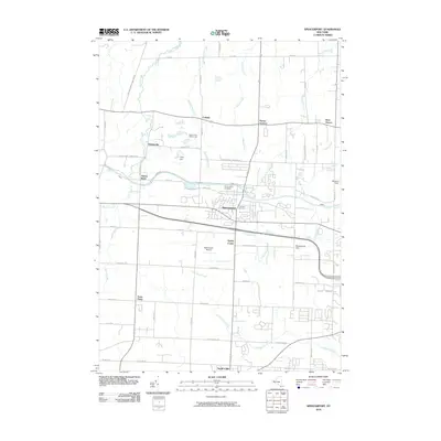
2010 Map of Spencerport
USGS Topo · Published 2010About this map
Spencerport and its surrounding Monroe County townships are defined by the convergence of legacy transportation routes and late 20th-century development. The landscape is etched by the intricate drainage of Salmon Creek and Northrup Creek, which flow northward toward the lake through a series of agricultural and residential pockets. Highlighting the local infrastructure of the era, the map captures the transition from historic rural centers like Ogden Center and Parma Corners to modern industrial additions such as the Rochester Technology Park in the southeast. Genealogists can trace local burial sites at Saint Johns Cemetery and Fairfield Cemetery, while aviation history is preserved at the Spencerport Airpark. From the early settlement at Adams Basin to the busy corridors around North Chili, the map documents a region balancing its canal-era heritage with suburban expansion.
Find a feature on this map
55 named features on this map. Tap any name to fly to it.
Don’t see what you’re looking for? This feature index may not catch every label — zoom into the map to look around manually.
Map Details
Editions of this 2010 Spencerport Map
This is the sole edition of this map. No revisions or reprints were ever made.
Other maps of this area

1895 · Rochester
USGS Topo · 1:62,500

1895 · Ontario Beach
USGS Topo · 1:62,500

1898 · Rochester
USGS Topo · 1:62,500

1899 · Hamlin
USGS Topo · 1:62,500

1899 · Ontario Beach
USGS Topo · 1:62,500

1899 · Brockport
USGS Topo · 1:62,500

1912 · Rochester
USGS Topo · 1:62,500

1912 · Ontario Beach
USGS Topo · 1:62,500

1920 · Rochester
USGS Topo · 1:62,500

1931 · Rochester West
USGS Topo · 1:24,000