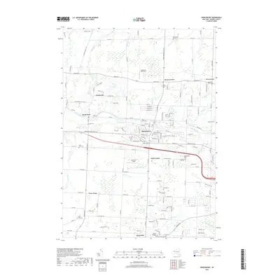
2019 Map of Spencerport
USGS Topo · Published 2019About this map
Spencerport sits at the heart of this Monroe County landscape, defined by the historic passage of the Erie Canal as it winds past Adams Basin. The area reflects a established suburban and educational character, anchored by the Roberts Wesleyan College and Northeastern Seminary campus in North Chili. Small crossroads and rural settlements like Parma Corners, Hinkleyville, and Town Pump punctuate the grid of county roads, while several pioneer burying grounds, including the Castle Family Pioneer Cem and Hoosic Hill Pioneer Cem, offer deep genealogical value. Local aviation is represented by the Spencerport Airpark and Ridge Road West Airport, showing the modernization of a region where Salmon Creek and Northrup Cr still follow their natural courses through the drumlin-inflected terrain of Woodchuck Hill and Pine Hill.
Find a feature on this map
129 named features on this map. Tap any name to fly to it.
Don’t see what you’re looking for? This feature index may not catch every label — zoom into the map to look around manually.
Map Details
Editions of this 2019 Spencerport Map
This is the sole edition of this map. No revisions or reprints were ever made.
Other maps of this area

1895 · Rochester
USGS Topo · 1:62,500

1895 · Ontario Beach
USGS Topo · 1:62,500

1898 · Rochester
USGS Topo · 1:62,500

1899 · Hamlin
USGS Topo · 1:62,500

1899 · Ontario Beach
USGS Topo · 1:62,500

1899 · Brockport
USGS Topo · 1:62,500

1912 · Rochester
USGS Topo · 1:62,500

1912 · Ontario Beach
USGS Topo · 1:62,500

1920 · Rochester
USGS Topo · 1:62,500

1931 · Rochester West
USGS Topo · 1:24,000