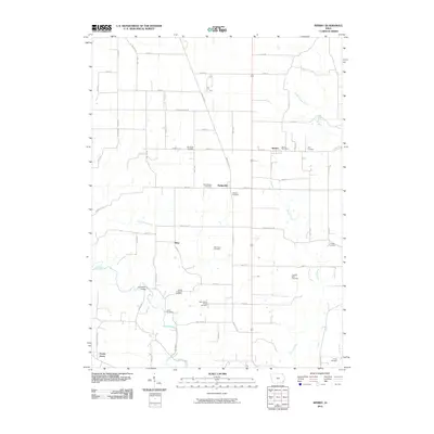
2010 Map of Sperry
USGS Topo · Published 2010About this map
Sperry and Dodgeville anchor the rural landscape of Des Moines County in this 2010 survey, which reveals a dense network of local-history landmarks. The area is exceptionally notable for its preservation of numerous small burial grounds, ranging from the Old Stone Cemetery to the Thie Farm Cemetery and Franklin Mills Cemetery. These sites are often tucked away along gravel roads or the winding courses of Knotty Creek and Big Hollow Creek.
Find a feature on this map
64 named features on this map. Tap any name to fly to it.
Don’t see what you’re looking for? This feature index may not catch every label — zoom into the map to look around manually.
Map Details
Editions of this 2010 Sperry Map
This is the sole edition of this map. No revisions or reprints were ever made.
Other maps of this area

1934 · Burlington
USGS Topo · 1:48,000

1940 · Burlington
USGS Topo · 1:62,500

1946 · Wapello
USGS Topo · 1:62,500

1949 · Wapello
USGS Topo · 1:62,500

1958 · Burlington
USGS Topo · 1:250,000

1958 · Davenport
USGS Topo · 1:250,000

1961 · Burlington
USGS Topo · 1:250,000

1961 · Davenport
USGS Topo · 1:250,000

1962 · Davenport
USGS Topo · 1:250,000

1963 · Burlington
USGS Topo · 1:250,000