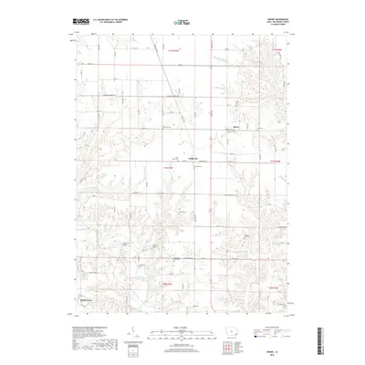
2018 Map of Sperry
USGS Topo · Published 2018About this map
Sperry and Dodgeville serve as central nodes in this rural Des Moines County landscape, where agriculture is shaped by the complex drainage systems of Flint River and Knotty Cr. The map is particularly notable for its dense concentration of small, family, and church-affiliated burial grounds, which offer significant value for genealogical research. These include the Old Stone Cem, Loper Cem, and the Franklin Mills Cem, often located at remote intersections or along creek bluffs. The presence of the Flint River Bridge and the Salem Lutheran Cem further illustrates the established community structure of the region. The terrain is characterized by the winding paths of Big Hollow Cr and Yellow Spring Cr, which carve through the townships of T71N R3W and T70N R3W, creating a distinct pattern of land use that respects the natural watercourses of the Iowa interior.
Find a feature on this map
73 named features on this map. Tap any name to fly to it.
Don’t see what you’re looking for? This feature index may not catch every label — zoom into the map to look around manually.
Map Details
Editions of this 2018 Sperry Map
This is the sole edition of this map. No revisions or reprints were ever made.
Other maps of this area

1934 · Burlington
USGS Topo · 1:48,000

1940 · Burlington
USGS Topo · 1:62,500

1946 · Wapello
USGS Topo · 1:62,500

1949 · Wapello
USGS Topo · 1:62,500

1958 · Burlington
USGS Topo · 1:250,000

1958 · Davenport
USGS Topo · 1:250,000

1961 · Burlington
USGS Topo · 1:250,000

1961 · Davenport
USGS Topo · 1:250,000

1962 · Davenport
USGS Topo · 1:250,000

1963 · Burlington
USGS Topo · 1:250,000