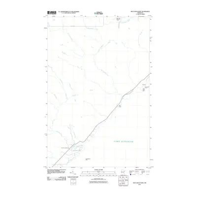
2010 Map of Split Rock Point
USGS Topo · Published 2010About this map
Lake Superior dominates the southeastern edge of this coastal survey, where the North Shore's dramatic geology is marked by Split Rock Point and Corundum Point. The landscape is defined by a series of parallel watercourses including the Gooseberry River, West Split Rock River, and East Split Rock River, all draining toward the Great Lake. Human activity is concentrated along the shoreline corridor, where Split Rock Lighthouse Rd and County Hwy-1 provide access to the Gooseberry Falls Rest Area and Split Rock Cabins.
Find a feature on this map
22 named features on this map. Tap any name to fly to it.
Don’t see what you’re looking for? This feature index may not catch every label — zoom into the map to look around manually.
Map Details
Editions of this 2010 Split Rock Point Map
This is the sole edition of this map. No revisions or reprints were ever made.
Other maps of this area

1953 · Whyte
USGS Topo · 1:62,500

1954 · Silver Bay
USGS Topo · 1:62,500

1954 · Two Harbors
USGS Topo · 1:250,000

1956 · Split Rock Point
USGS Topo · 1:24,000

1956 · Split Rock Point
USGS Topo · 1:62,500

1956 · Split Rock Point NE
USGS Topo · 1:24,000

1957 · Two Harbors
USGS Topo · 1:250,000

1957 · Two Harbors
USGS Topo · 1:62,500

1957 · Two Harbors NE
USGS Topo · 1:24,000

1957 · Castle Danger
USGS Topo · 1:24,000