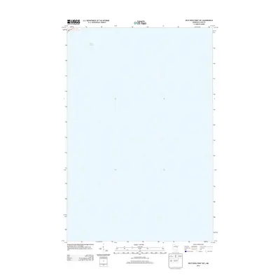
2013 Map of Split Rock Point OE S
USGS Topo · Published 2013About this map
Lake Superior dominates this nautical and coastal landscape, representing the offshore waters of Lake County. The map focuses on the expanse just south of the shoreline near Split Rock Point, capturing the essential water-to-land relationship of the North Shore. The only land-based feature visible is a small corner of the coast in the upper-left quadrant, where the iconic Mn-61 skirts the edge of the water. This 2013 survey provides a specialized view of the maritime approaches to this section of the Minnesota coastline, emphasizing the bathymetric and navigational openness of the Great Lake before it meets the rocky terrain of Silver Creek Township.
Find a feature on this map
2 named features on this map. Tap any name to fly to it.
Don’t see what you’re looking for? This feature index may not catch every label — zoom into the map to look around manually.
Map Details
Editions of this 2013 Split Rock Point OE S Map
This is the sole edition of this map. No revisions or reprints were ever made.
Other maps of this area

1943 · Port Wing
USGS Topo · 1:48,000

1946 · Port Wing
USGS Topo · 1:48,000

1953 · Ashland
USGS Topo · 1:250,000

1954 · Two Harbors
USGS Topo · 1:250,000

1956 · Split Rock Point
USGS Topo · 1:24,000

1956 · Split Rock Point
USGS Topo · 1:62,500

1956 · Split Rock Point NE
USGS Topo · 1:24,000

1957 · Two Harbors
USGS Topo · 1:250,000

1957 · Two Harbors
USGS Topo · 1:62,500

1957 · Two Harbors NE
USGS Topo · 1:24,000