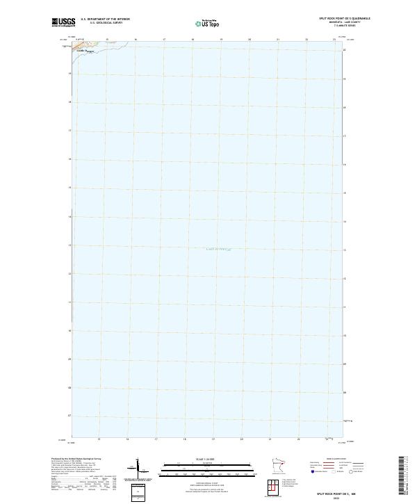
2022 Map of Split Rock Point OE S
USGS Topo · Published 2022About this map
Lake Superior dominates this nautical landscape along the North Shore of Lake County, Minnesota. The map covers a significant portion of the open water, where the cold depths of the Great Lake meet the rocky coastline. Near the northwestern corner of the sheet, the settlement of Castle Danger appears as the primary point of human activity. This area is known for its position along the rugged shoreline where Highway 61 connects the small coastal communities. The sparse labels reflect the maritime nature of the quadrangle, focusing on the interface between the lake and the high bluffs of the shore, providing a specialized look at the waters just off the mainland.
Find a feature on this map
2 named features on this map. Tap any name to fly to it.
Don’t see what you’re looking for? This feature index may not catch every label — zoom into the map to look around manually.
Map Details
Editions of this 2022 Split Rock Point OE S Map
This is the sole edition of this map. No revisions or reprints were ever made.
Other maps of this area

1943 · Port Wing
USGS Topo · 1:48,000

1946 · Port Wing
USGS Topo · 1:48,000

1953 · Ashland
USGS Topo · 1:250,000

1954 · Two Harbors
USGS Topo · 1:250,000

1956 · Split Rock Point
USGS Topo · 1:24,000

1956 · Split Rock Point
USGS Topo · 1:62,500

1956 · Split Rock Point NE
USGS Topo · 1:24,000

1957 · Two Harbors
USGS Topo · 1:250,000

1957 · Two Harbors
USGS Topo · 1:62,500

1957 · Two Harbors NE
USGS Topo · 1:24,000