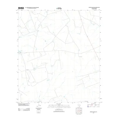
2013 Map of Spohn Ranch
USGS Topo · Published 2013About this map
The working landscape of Webb County is defined by its ranching heritage and the vital infrastructure required to manage water in South Texas. This 2013 survey illustrates the extensive network of ranch properties, including the eponymous Spohn Ranch, Kennedy Ranch, and Jefferies Ranch. These holdings are supported by a complex system of earthen stock tanks, such as La Bandera Tank, Round Corner Tank, and Las Tablas Tank, which capture runoff from seasonal drainages like Cochio Cr and Jaboncillo Cr.
Find a feature on this map
17 named features on this map. Tap any name to fly to it.
Don’t see what you’re looking for? This feature index may not catch every label — zoom into the map to look around manually.
Map Details
Editions of this 2013 Spohn Ranch Map
This is the sole edition of this map. No revisions or reprints were ever made.
Other maps of this area

1929 · Cotulla
USGS Topo · 1:125,000

1940 · Velenzuela Creek
USGS Topo · 1:62,500

1953 · Crystal City
USGS Topo · 1:250,000

1955 · Crystal City
USGS Topo · 1:250,000

1956 · Las Tiendas
USGS Topo · 1:62,500

1956 · Webb
USGS Topo · 1:62,500

1956 · Laredo
USGS Topo · 1:250,000

1957 · Encinal
USGS Topo · 1:62,500

1961 · Crystal City
USGS Topo · 1:250,000

1965 · Spohn Ranch
USGS Topo · 1:24,000