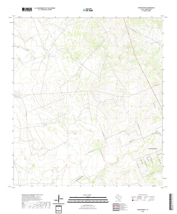
2022 Map of Spohn Ranch
USGS Topo · Published 2022About this map
La Moca Ranch and the surrounding ranchlands of Webb County are characterized by an extensive network of water management features essential for life in this arid South Texas terrain. The landscape is defined by its numerous cattle tanks, including Kennedy Tank, La Euraca Tank, and Dry Fourmile Tank, which collect runoff from ephemeral drainages like Cochio Cr and Jabonçillo Cr. These named tanks are critical nodes in the local ranching economy, providing reliable water sources across large tracts of land.
Find a feature on this map
34 named features on this map. Tap any name to fly to it.
Don’t see what you’re looking for? This feature index may not catch every label — zoom into the map to look around manually.
Map Details
Editions of this 2022 Spohn Ranch Map
This is the sole edition of this map. No revisions or reprints were ever made.
Other maps of this area

1929 · Cotulla
USGS Topo · 1:125,000

1940 · Velenzuela Creek
USGS Topo · 1:62,500

1953 · Crystal City
USGS Topo · 1:250,000

1955 · Crystal City
USGS Topo · 1:250,000

1956 · Las Tiendas
USGS Topo · 1:62,500

1956 · Webb
USGS Topo · 1:62,500

1956 · Laredo
USGS Topo · 1:250,000

1957 · Encinal
USGS Topo · 1:62,500

1961 · Crystal City
USGS Topo · 1:250,000

1965 · Spohn Ranch
USGS Topo · 1:24,000