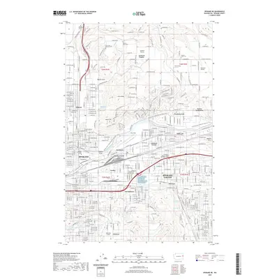
2020 Map of Spokane NE
USGS Topo · Published 2020About this map
Spokane and the sprawling residential and industrial corridors of Spokane Valley are the focus of this contemporary look at eastern Washington. The Spokane River cuts through the center of the sheet, providing a geographic anchor for landmarks like Felts Field and the Upper Dam. Further north, the landscape transitions into the agricultural and suburban stretches of Orchard Prairie and Pleasant Prairie, where several namesake cemeteries, including Orchard Prairie Cem and Pleasant Prairie Cem, reflect the area's deep-rooted community history.
Find a feature on this map
58 named features on this map. Tap any name to fly to it.
Don’t see what you’re looking for? This feature index may not catch every label — zoom into the map to look around manually.
Map Details
Editions of this 2020 Spokane NE Map
This is the sole edition of this map. No revisions or reprints were ever made.
Other maps of this area

1901 · Spokane
USGS Topo · 1:125,000

1943 · Mt Spokane
USGS Topo · 1:62,500

1949 · Deer Park
USGS Topo · 1:62,500

1949 · Greenacres
USGS Topo · 1:62,500

1950 · Spokane NE
USGS Topo · 1:24,000

1950 · Spokane SE
USGS Topo · 1:24,000

1950 · Mt Spokane
USGS Topo · 1:62,500

1950 · Spokane SW
USGS Topo · 1:24,000

1950 · Spokane NW
USGS Topo · 1:24,000

1950 · Spokane
USGS Topo · 1:62,500