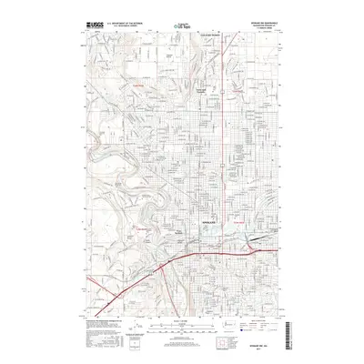
2017 Map of Spokane NW
USGS Topo · Published 2017About this map
The Spokane River carves a dramatic path through this 2017 study, defining the urban and natural geography of Spokane. The river's power is showcased at Spokane Falls and the Upper Falls Reservoir, while its steep banks enclose neighborhoods like Peaceful Valley. To the west, the map details the transition from the city center to the plateau of Fivemile Prairie and the deep relief of Indian Canyon.
Find a feature on this map
261 named features on this map. Tap any name to fly to it.
Don’t see what you’re looking for? This feature index may not catch every label — zoom into the map to look around manually.
Map Details
Editions of this 2017 Spokane NW Map
This is the sole edition of this map. No revisions or reprints were ever made.
Other maps of this area

1901 · Spokane
USGS Topo · 1:125,000

1943 · Medical Lake
USGS Topo · 1:62,500

1944 · Clayton
USGS Topo · 1:62,500

1949 · Deer Park
USGS Topo · 1:62,500

1950 · Spokane NE
USGS Topo · 1:24,000

1950 · Spokane SE
USGS Topo · 1:24,000

1950 · Spokane SW
USGS Topo · 1:24,000

1950 · Spokane NW
USGS Topo · 1:24,000

1950 · Spokane
USGS Topo · 1:62,500

1950 · Clayton
USGS Topo · 1:62,500