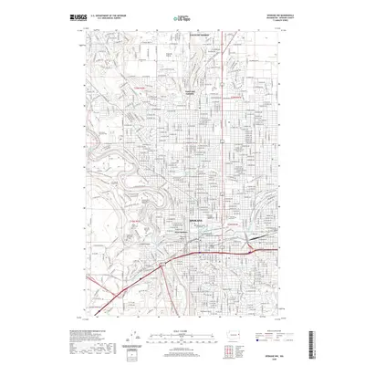
2020 Map of Spokane NW
USGS Topo · Published 2020About this map
The Spokane River winds through the heart of the city, defining a landscape shaped by water and elevation. This urban and suburban record shows the core of Spokane and its western reaches, where the river's path creates distinct neighborhoods like Peaceful Valley and is bridged near landmarks such as the Spokane County Courthouse. The concentration of cemeteries along the western bluffs, including Fairmount Memorial Park and Greenwood Memorial Terrace, highlights a significant funerary landscape overlooking Indian Canyon.
Find a feature on this map
38 named features on this map. Tap any name to fly to it.
Don’t see what you’re looking for? This feature index may not catch every label — zoom into the map to look around manually.
Map Details
Editions of this 2020 Spokane NW Map
This is the sole edition of this map. No revisions or reprints were ever made.
Other maps of this area

1901 · Spokane
USGS Topo · 1:125,000

1943 · Medical Lake
USGS Topo · 1:62,500

1944 · Clayton
USGS Topo · 1:62,500

1949 · Deer Park
USGS Topo · 1:62,500

1950 · Spokane NE
USGS Topo · 1:24,000

1950 · Spokane SE
USGS Topo · 1:24,000

1950 · Spokane SW
USGS Topo · 1:24,000

1950 · Spokane NW
USGS Topo · 1:24,000

1950 · Spokane
USGS Topo · 1:62,500

1950 · Clayton
USGS Topo · 1:62,500