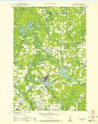
1965 Map of Spooner
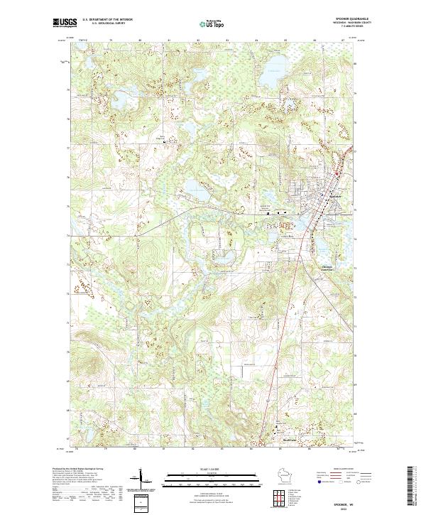
USGS Topo · Published 1967About this map
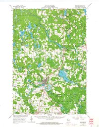
The Namekagon River snakes through the northern portion of this Washburn County landscape, providing the central hydrological axis for a region defined by its dense network of lakes and glacial terrain. The town of Spooner serves as the primary hub, where the Chicago and North Western rail lines converge, supporting a local economy tied to the land and transport. To the south, the Beaver Brook State Wildlife Area and Sawyer Creek State Wildlife Area preserve significant wetlands and forests, reflecting the area's mid-century focus on conservation and recreation.
Find a feature on this map
94 named features on this map. Tap any name to fly to it.
Don’t see what you’re looking for? This feature index may not catch every label — zoom into the map to look around manually.
Map Details
Editions of this 1965 Spooner Map
This is the sole edition of this map. No revisions or reprints were ever made.
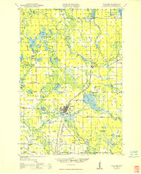
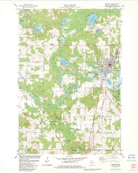
Historical Maps of Spooner Through Time
6 maps found