
Historical Maps of Washburn County, Wisconsin
What stories do these 75 old maps tell about Washburn County's past? From 1947 to present day, these maps reveal the evolution of streets, neighborhoods, iconic landmarks, and natural features in stunning high-res detail. Whether you're a history enthusiast, genealogist, or professional in education, environmental work, or architecture, these maps are perfect for exploration, research, and discovery.
Discover Washburn County's history through maps:
- Trace Washburn County's growth: Explore earlier and latest maps and editions to uncover how the region changed over time.
- Examine technical details: Each map includes its creators, publishers, scale, dimensions, and full source information.
- Layer maps with modern tools & imagery: Compare historical maps to modern-day with high-resolution satellite imagery and detailed LiDAR layers.
- Sourced from trusted archives: Carefully preserved and digitized by institutions like the United Stated Geological Survey and the US Library of Congress.
- Access in any format: View and explore in high resolution, download for offline use, or order a museum-quality print for yourself or a loved one.
Begin your journey into Washburn County's history with these remarkable must-see maps.
Washburn County, WI maps
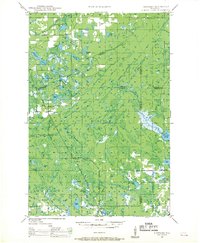
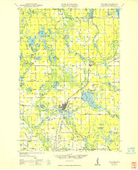
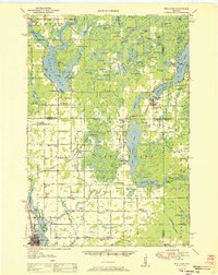
(75)- 1947 Map of Chittamo, 1956 Print
 1947 Chittamo1956 Print · USGSCovers Washburn County, including Hayward, Gordon, and other nearby areas
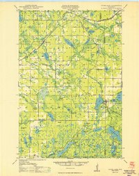
 - 1947 Map of Minong, 1964 Print
 1947 Minong1964 Print · USGSCovers Washburn County, including Gordon, Wascott, and other nearby areas
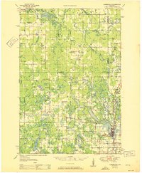
 - 1947 Map of Chittamo, 1969 Print
 1947 Chittamo1969 Print · USGSCovers Washburn County, including Hayward, Gordon, and other nearby areas
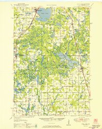
 - 1948 Map of Spooner, 1955 Print
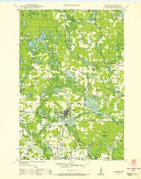 1948 Spooner1955 Print · USGSCovers Washburn County, including Spooner, Shell Lake, and other nearby areas
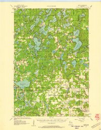
 - 1948 Map of Stone Lake, 1958 Print
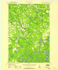 1948 Stone Lake1958 Print · USGSCovers Washburn County, including Hayward, Edgewater, and other nearby areas
 - 1948 Map of Stone Lake, 1966 Print
 1948 Stone Lake1966 Print · USGSCovers Washburn County, including Hayward, Edgewater, and other nearby areas
 - 1949 Map of Chittamo
 1949 Chittamo1949 Print · USGSCovers Washburn County, including Hayward, Gordon, and other nearby areas
 - 1949 Map of Hertel
 1949 Hertel1949 Print · USGSCovers Washburn County, including Webb Lake, Hertel, and other nearby areas
 - 1949 Map of Minong
 1949 Minong1949 Print · USGSCovers Washburn County, including Gordon, Wascott, and other nearby areas
 - 1949 Map of Webb Lake
 1949 Webb Lake1949 Print · USGSCovers Washburn County, including Gordon, Wascott, and other nearby areas
 - 1949 Map of Spooner
 1949 Spooner1949 Print · USGSCovers Washburn County, including Spooner, Shell Lake, and other nearby areas
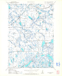
 - 1949 Map of Rice Lake, 1961 Print
 1949 Rice Lake1961 Print · USGSCovers Washburn County, including Rice Lake, Edgewater, and other nearby areas
 - 1950 Map of Stone Lake
 1950 Stone Lake1950 Print · USGSCovers Washburn County, including Hayward, Edgewater, and other nearby areas
 - 1951 Map of Cumberland
 1951 Cumberland1951 Print · USGSCovers Washburn County, including Cumberland, McKinley, and other nearby areas
 - 1951 Map of Shell Lake
 1951 Shell Lake1951 Print · USGSCovers Washburn County, including Rice Lake, Shell Lake, and other nearby areas
 - 1951 Map of Rice Lake
 1951 Rice Lake1951 Print · USGSCovers Washburn County, including Rice Lake, Edgewater, and other nearby areas
 - 1953 Map of Ashland, 1964 Print
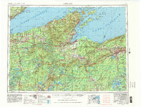
 1953 Ashland1964 Print · USGSCovers Washburn County, including Duluth, Superior, and other nearby areas
 - 1953 Map of Duluth, 1964 Print
 1953 Duluth1964 Print · USGSCovers Washburn County, including Duluth, Superior, and other nearby areas
 - 1953 Map of Rice Lake, 1967 Print
 1953 Rice Lake1967 Print · USGSCovers Washburn County, including Rice Lake, Minocqua, and other nearby areas
 - 1953 Map of Ashland, 1975 Print
 1953 Ashland1975 Print · USGSCovers Washburn County, including Duluth, Superior, and other nearby areas
 - 1953 Map of Stillwater, 1980 Print
 1953 Stillwater1980 Print · USGSCovers Washburn County, including Minneapolis, Brooklyn Park, and other nearby areas
 - 1953 Map of Duluth, 1980 Print
 1953 Duluth1980 Print · USGSCovers Washburn County, including Duluth, Superior, and other nearby areas
 - 1953 Map of Rice Lake, 1981 Print
 1953 Rice Lake1981 Print · USGSCovers Washburn County, including Rice Lake, Minocqua, and other nearby areas
 - 1953 Map of Ashland, 1983 Print
 1953 Ashland1983 Print · USGSCovers Washburn County, including Duluth, Superior, and other nearby areas
 - 1955 Map of Hertel, 1957 Print
 1955 Hertel1957 Print · USGSCovers Washburn County, including Webb Lake, Hertel, and other nearby areas
Showing maps 1-25 of 75
Top cities in Washburn County
- Spooner historical maps
- Shell Lake historical maps
- Trego historical maps
- Beaver Brook historical maps
- Minong historical maps
- Springbrook historical maps
See more
Frequently asked questions
- What are the different types of historical maps available for Washburn County?
- What is the oldest map of Washburn County?
- Where can I purchase historical maps of Washburn County for my home or office?
- Where can I download high-res historical maps of Washburn County?
- Are there historical topographic maps available for Washburn County?
- Is there historical aerial imagery available for Washburn County?
- Where are historical maps of Washburn County sourced from?