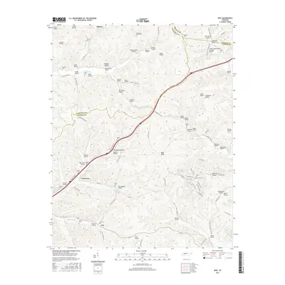
2016 Map of Spot
USGS Topo · Published 2016About this map
Spot and Whitehouse anchor a landscape defined by the convergence of Hickman, Dickson, and Humphreys counties. This terrain is deeply incised by a network of named hollows, including Gordon Hollow, Texas Hollow, and Franklin Hollow, which channel water toward the Piney River and its various forks. The settlement pattern reflects a history of small, dispersed communities like Milltown and Poplar Grove, often identified by their proximity to springs such as Smith Spring or Taylor Spring.
Find a feature on this map
111 named features on this map. Tap any name to fly to it.
Don’t see what you’re looking for? This feature index may not catch every label — zoom into the map to look around manually.
Map Details
Editions of this 2016 Spot Map
This is the sole edition of this map. No revisions or reprints were ever made.
Other maps of this area

1901 · Colombia
USGS Topo · 1:125,000

1936 · Gorman
USGS Topo · 1:24,000

1936 · Coble
USGS Topo · 1:24,000

1936 · Nunnelly
USGS Topo · 1:24,000

1936 · Whitfield
USGS Topo · 1:24,000

1936 · Bucksnort
USGS Topo · 1:24,000

1936 · Texas Hollow
USGS Topo · 1:24,000

1936 · Spot
USGS Topo · 1:24,000

1936 · Tennessee City
USGS Topo · 1:24,000

1936 · Dickson
USGS Topo · 1:24,000