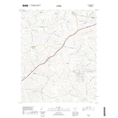
2019 Map of Spot
USGS Topo · Published 2019About this map
Sugar Creek and its many branches, including the Middle Fork Sugar Creek and North Fork Sugar Creek, define the landscape of this Hickman County region. Small rural nodes like Whitehouse, Poplar Grove, and the community of Spot are connected by a network of hollows and ridges, reflecting a settlement pattern deeply tied to the local drainage systems. The map is particularly dense with small family and community burial grounds, such as Tidwell Cemetery, McMackins Cemetery, and Spot Cemetery, which serve as vital markers for genealogical research in this part of Tennessee.
Find a feature on this map
121 named features on this map. Tap any name to fly to it.
Don’t see what you’re looking for? This feature index may not catch every label — zoom into the map to look around manually.
Map Details
Editions of this 2019 Spot Map
This is the sole edition of this map. No revisions or reprints were ever made.
Other maps of this area

1901 · Colombia
USGS Topo · 1:125,000

1936 · Gorman
USGS Topo · 1:24,000

1936 · Coble
USGS Topo · 1:24,000

1936 · Nunnelly
USGS Topo · 1:24,000

1936 · Whitfield
USGS Topo · 1:24,000

1936 · Bucksnort
USGS Topo · 1:24,000

1936 · Texas Hollow
USGS Topo · 1:24,000

1936 · Spot
USGS Topo · 1:24,000

1936 · Tennessee City
USGS Topo · 1:24,000

1936 · Dickson
USGS Topo · 1:24,000