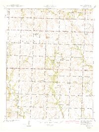
1942 Map of Sprague
USGS Topo · Published 1942About this map
Sprague serves as the primary hub in this southwest Missouri landscape during the early 1940s, situated at the junction of several rural routes. The map documents a transition in local transportation, clearly marking the Missouri Pacific line alongside an Old Railroad Grade that hints at former transit corridors through the rolling hills. The land is defined by a dense network of country schools, including Montgomery Sch and Sartorius Sch, reflecting a time when educational life was decentralized across the townships of Howard and Osage.
Find a feature on this map
27 named features on this map. Tap any name to fly to it.
Don’t see what you’re looking for? This feature index may not catch every label — zoom into the map to look around manually.
Map Details
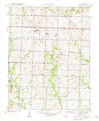
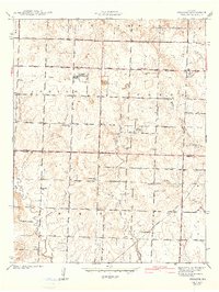
Editions of this 1942 Sprague Map
3 editions found
Other maps of this area

1884 · Fort Scott
USGS Topo · 1:125,000

1886 · Nevada
USGS Topo · 1:125,000

1886 · Fort Scott
USGS Topo · 1:125,000

1887 · Butler
USGS Topo · 1:125,000

1887 · Mound City
USGS Topo · 1:125,000

1893 · Fort Scott
USGS Topo · 1:125,000

1893 · Mound City
USGS Topo · 1:125,000

1894 · Butler
USGS Topo · 1:125,000

1894 · Nevada
USGS Topo · 1:125,000

1936 · Rich Hill
USGS Topo · 1:24,000