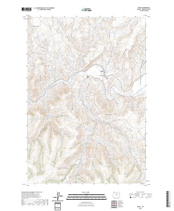
2023 Map of Spray
USGS Topo · Published 2023About this map
Spray sits at a strategic bend in the John Day River, serving as a focal point for this section of Wheeler County. The town is surrounded by a complex system of drainage and terrain, including the steep-sided Town Gulch and the nearby Spray Cem. The landscape is defined by its dramatic relief, with prominent landmarks such as Sentinel Peak and Harper Mtn rising above the river valley.
Find a feature on this map
33 named features on this map. Tap any name to fly to it.
Don’t see what you’re looking for? This feature index may not catch every label — zoom into the map to look around manually.
Map Details
Editions of this 2023 Spray Map
This is the sole edition of this map. No revisions or reprints were ever made.
Other maps of this area

1953 · Richmond
USGS Topo · 1:62,500

1953 · Kimberly
USGS Topo · 1:62,500

1953 · Picture
USGS Topo · 1:62,500

1953 · Spray
USGS Topo · 1:62,500

1955 · Canyon City
USGS Topo · 1:250,000

1959 · Canyon City
USGS Topo · 1:250,000

1980 · Monument
USGS Topo · 1:100,000
1990 · Whitetail Butte
USGS Topo · 1:24,000
1990 · Richmond
USGS Topo · 1:24,000
1990 · Johnson Heights
USGS Topo · 1:24,000