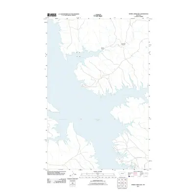
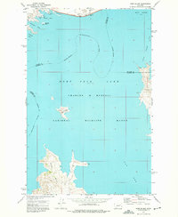
2011 Map of Spring Creek Bay
USGS Topo · Published 2011About this map
Fort Peck Lake dominates this portion of McCone County, Montana, revealing the complex, multi-lobed shoreline of one of the nation's largest man-made reservoirs. The digital survey highlights the jagged northern inlets, including Spring Creek Bay, Sand Arroyo Bay, and Box Elder Creek Bay, where the water meets the high prairie breaks. The drainage patterns of the Missouri River country are evident in the systems of Humphrey Coulee and Polecat Coulee, which channel runoff from the arid uplands toward the lake. This landscape reflects the modern era of water management and recreation, with access provided by primitive routes such as Rock Creek Rd and Road 531. Local watercourses like Spring Creek and Stole Creek provide a look at the original topography that existed before the Missouri was impounded.
Find a feature on this map
10 named features on this map. Tap any name to fly to it.
Don’t see what you’re looking for? This feature index may not catch every label — zoom into the map to look around manually.
Map Details
Editions of this 2011 Spring Creek Bay Map
This is the sole edition of this map. No revisions or reprints were ever made.
Other maps of this area

1954 · Jordan
USGS Topo · 1:250,000

1956 · Jordan
USGS Topo · 1:250,000

1958 · Jordan
USGS Topo · 1:250,000

1964 · Jordan
USGS Topo · 1:250,000
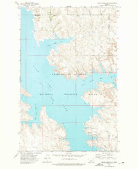
1972 · Spring Creek Bay
USGS Topo · 1:24,000
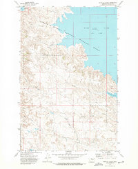
1972 · Norville Creek
USGS Topo · 1:24,000

1972 · Ash Creek East
USGS Topo · 1:24,000
1972 · Ash Creek West
USGS Topo · 1:24,000
1972 · York Island
USGS Topo · 1:24,000
1972 · Bobcat Creek
USGS Topo · 1:24,000