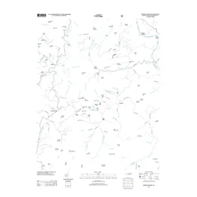
2013 Map of Spring Creek
USGS Topo · Published 2013About this map
Hot Springs Mountain stands as a prominent landmark in this Appalachian landscape, where the French Broad River cuts through the northeast corner near Sandy Bottom. The terrain is defined by a dense network of ridges and knobs, including Leadmine Ridge and Slaty Knob, which separate the various branches of Big Pine Cr and Spring Cr. Small mountain communities such as Bluff, Worley, and Trust are connected by a web of local roads that follow the winding valley floors. Evidence of historic land use and fire observation is found atop Rich Knob, which supports the Duckett Lookout Tower. The settlement patterns here remain tied to the complex topography, with homes and structures clustered along watercourses like Puncheon Camp Br and Indian Camp Br, while higher elevations such as Grassland Mountain and Hickory Spur remain primarily defined by their natural contours.
Find a feature on this map
145 named features on this map. Tap any name to fly to it.
Don’t see what you’re looking for? This feature index may not catch every label — zoom into the map to look around manually.
Map Details
Editions of this 2013 Spring Creek Map
This is the sole edition of this map. No revisions or reprints were ever made.
Other maps of this area

1894 · Asheville
USGS Topo · 1:125,000

1901 · Asheville
USGS Topo · 1:125,000

1935 · Paint Rock
USGS Topo · 1:24,000

1935 · Hot Springs
USGS Topo · 1:24,000

1935 · Spring Creek
USGS Topo · 1:24,000

1935 · Lemon Gap
USGS Topo · 1:24,000

1936 · Marshall
USGS Topo · 1:24,000

1936 · Sandymush
USGS Topo · 1:24,000

1936 · White Rock
USGS Topo · 1:24,000

1936 · Hepco
USGS Topo · 1:24,000