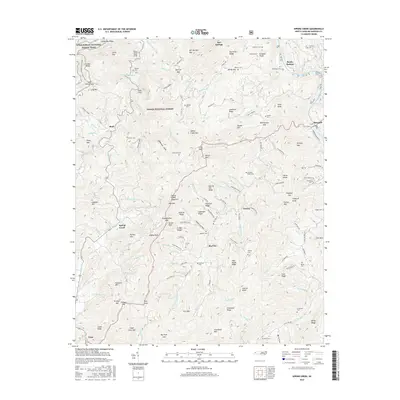
2016 Map of Spring Creek
USGS Topo · Published 2016About this map
Hot Springs sits at the northern edge of this high-elevation terrain, where the French Broad River cuts through the steep slopes of the Pisgah National Forest. The Appalachian National Scenic Trail winds across the ridgelines, passing landmarks like Lamb Knob and Stony Spur Cliff as it traverses the western mountains. The area is defined by a deep network of drainages and gaps, including Squirrel Gap and Bearwallow Gap, which historically shaped local movement between small mountain settlements.
Find a feature on this map
152 named features on this map. Tap any name to fly to it.
Don’t see what you’re looking for? This feature index may not catch every label — zoom into the map to look around manually.
Map Details
Editions of this 2016 Spring Creek Map
This is the sole edition of this map. No revisions or reprints were ever made.
Other maps of this area

1894 · Asheville
USGS Topo · 1:125,000

1901 · Asheville
USGS Topo · 1:125,000

1935 · Paint Rock
USGS Topo · 1:24,000

1935 · Hot Springs
USGS Topo · 1:24,000

1935 · Spring Creek
USGS Topo · 1:24,000

1935 · Lemon Gap
USGS Topo · 1:24,000

1936 · Marshall
USGS Topo · 1:24,000

1936 · Sandymush
USGS Topo · 1:24,000

1936 · White Rock
USGS Topo · 1:24,000

1936 · Hepco
USGS Topo · 1:24,000