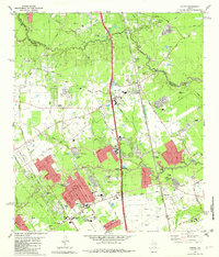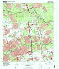
2023 Map of Spring
USGS Topo · Published 2023About this map
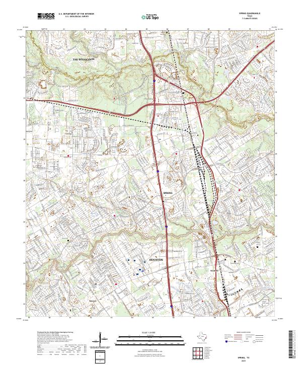
The borderlands of Montgomery and Harris counties are defined here by the winding course of Spring Creek, which separates the planned community of The Woodlands to the north from the historic rail-and-timber center of Spring. This modern topography documents the intense suburban density surrounding the Hardy Toll Rd and the I-45 corridor, yet it preserves a surprisingly dense record of early Texas family history. Numerous private and community burial grounds, such as the Wunsche Family Cem, Ehrhardt Cem, and Mueschke Cem, remain tucked within modern developments and alongside local landmarks like Lone Star College - North Harris. To the south, the landscape shifts toward the Houston city limits, following the tributary network of Cypress Creek and Turkey Creek through the communities of Bammel and Westfield.
Find a feature on this map
35 named features on this map. Tap any name to fly to it.
Don’t see what you’re looking for? This feature index may not catch every label — zoom into the map to look around manually.
Map Details
Editions of this 2023 Spring Map
This is the sole edition of this map. No revisions or reprints were ever made.
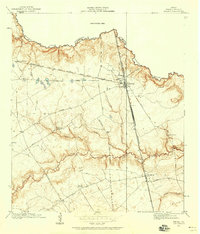
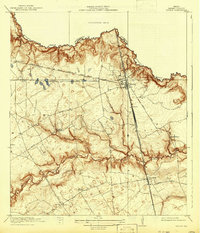
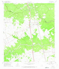
Historical Maps of Old Town Spring Through Time
6 maps found