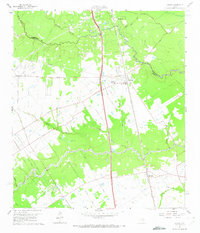
1960 Map of Spring
USGS Topo · Published 1973About this map
Spring and the surrounding piney woods north of Houston are defined by a complex network of bayous and petroleum production in this 1960 survey. The landscape is bisected by the Missouri Pacific railroad, which historically anchored the commerce of settlements like Westfield and Bammel. The area's mid-century economy is evident in the active Oil Field north of Bender and the Kuhlman Oil Field, with numerous pipelines crisscrossing the terrain.
Find a feature on this map
43 named features on this map. Tap any name to fly to it.
Don’t see what you’re looking for? This feature index may not catch every label — zoom into the map to look around manually.
Map Details
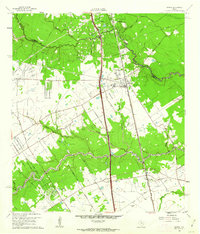
Editions of this 1960 Spring Map
2 editions found
Other maps of this area

1916 · Aldine
USGS Topo · 1:24,000

1916 · Louetta
USGS Topo · 1:24,000

1916 · Satsuma
USGS Topo · 1:24,000

1916 · Humble
USGS Topo · 1:24,000

1916 · Spring
USGS Topo · 1:24,000

1919 · Aldine
USGS Topo · 1:31,680

1919 · Humble
USGS Topo · 1:31,680

1919 · Weeden
USGS Topo · 1:31,680

1920 · Spring
USGS Topo · 1:31,680

1920 · Louetta
USGS Topo · 1:31,680