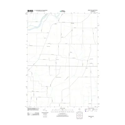
2012 Map of Spring Hill
USGS Topo · Published 2012About this map
The Rock River winds through the northwestern corner of this Illinois landscape, joined by the nearby waters of Hadaway Slough. The village of Spring Hill serves as a central point in a region defined by agricultural grid roads and scattered legacy sites. This map is particularly notable for genealogists due to the high density of small burial grounds distributed across the township, including Sharon Church Cem in the north and Pink Prairie Cem in the southwest. Between these historic points, modern utility and light aviation are evident with the presence of Kazuma Airport and the evocatively named Christmas Forest Airport. The terrain is crisscrossed by established local routes such as Springhill Rd and River Rd, reflecting a rural community where family names like Millard and Lynch are preserved in the infrastructure.
Find a feature on this map
53 named features on this map. Tap any name to fly to it.
Don’t see what you’re looking for? This feature index may not catch every label — zoom into the map to look around manually.
Map Details
Editions of this 2012 Spring Hill Map
This is the sole edition of this map. No revisions or reprints were ever made.
Other maps of this area

1899 · Clinton
USGS Topo · 1:125,000

1929 · Annawan
USGS Topo · 1:62,500

1932 · Prophetstown
USGS Topo · 1:48,000

1932 · Annawan
USGS Topo · 1:62,500

1934 · Geneseo
USGS Topo · 1:62,500

1936 · Prophetstown
USGS Topo · 1:62,500

1952 · Erie
USGS Topo · 1:62,500
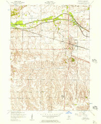
1953 · Geneseo
USGS Topo · 1:24,000
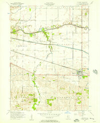
1953 · Atkinson
USGS Topo · 1:24,000

1958 · Davenport
USGS Topo · 1:250,000