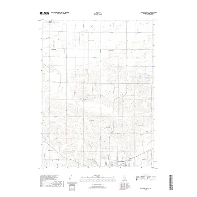
2024 Map of Spring Hill
USGS Topo · Published 2024About this map
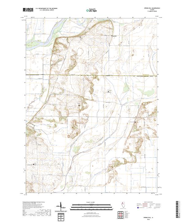
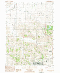
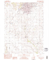
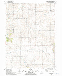
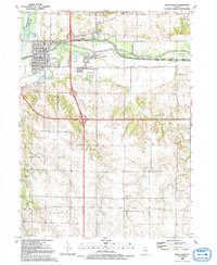
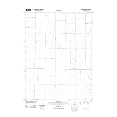
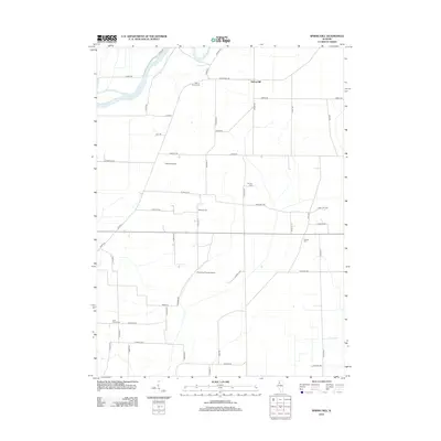
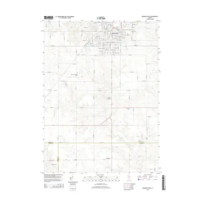
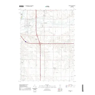
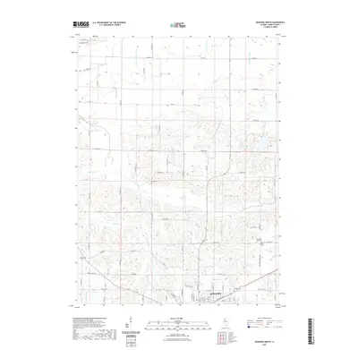
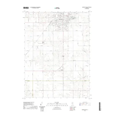
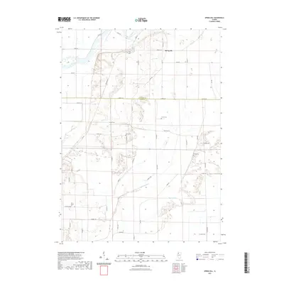
The Rock River flows through the northwest corner of this agricultural landscape, anchoring a network of drainage features and sloughs that define the local geography. Centered on the settlement of Spring Hill, the area is characterized by an extensive grid of section-line roads and several early burial grounds that serve as significant markers for local genealogy. The placement of Sharon Church Cem, Loraine Cem, and Bowman Cem suggests the distribution of early rural congregations and homesteads across the Henry and Whiteside county line.
Find a feature on this map
52 named features on this map. Tap any name to fly to it.
Don’t see what you’re looking for? This feature index may not catch every label — zoom into the map to look around manually.
Map Details
Editions of this 2024 Spring Hill Map
This is the sole edition of this map. No revisions or reprints were ever made.
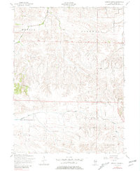
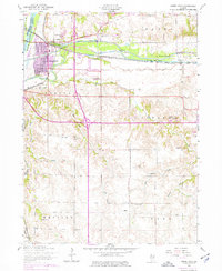
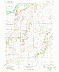
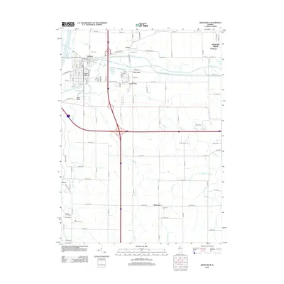
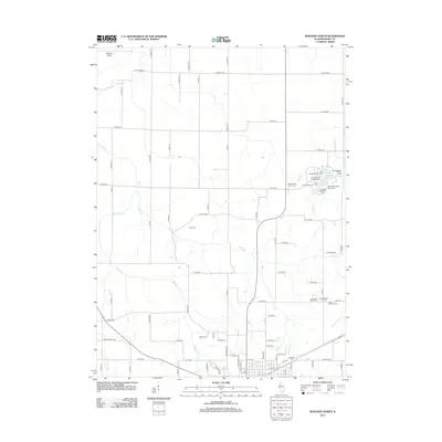
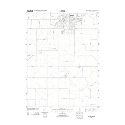
Historical Maps of Spring Hill Through Time
32 maps found
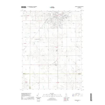
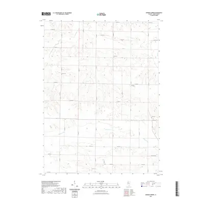
1953 German Corner
Henry County, IL
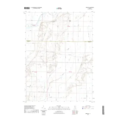
1953 Green Rock
Henry County, IL
1982 Spring Hill
Henry County, IL
1983 Kewanee North
Henry County, IL
1983 Kewanee South
Henry County, IL
1991 German Corner
Henry County, IL
1992 Green Rock
Henry County, IL
2012 German Corner
Henry County, IL
2012 Green Rock
Henry County, IL
2012 Kewanee North
Henry County, IL
2012 Kewanee South
Henry County, IL
2012 Spring Hill
Henry County, IL
2015 German Corner
Henry County, IL
2015 Green Rock
Henry County, IL
2015 Kewanee North
Henry County, IL
2015 Kewanee South
Henry County, IL
2015 Spring Hill
Henry County, IL
2018 German Corner
Henry County, IL
2018 Green Rock
Henry County, IL
2018 Kewanee North
Henry County, IL
2018 Kewanee South
Henry County, IL
2018 Spring Hill
Henry County, IL
2021 German Corner
Henry County, IL
2021 Green Rock
Henry County, IL
2021 Kewanee North
Henry County, IL
2021 Kewanee South
Henry County, IL
2021 Spring Hill
Henry County, IL
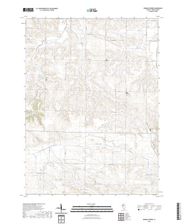
2024 German Corner
Henry County, IL
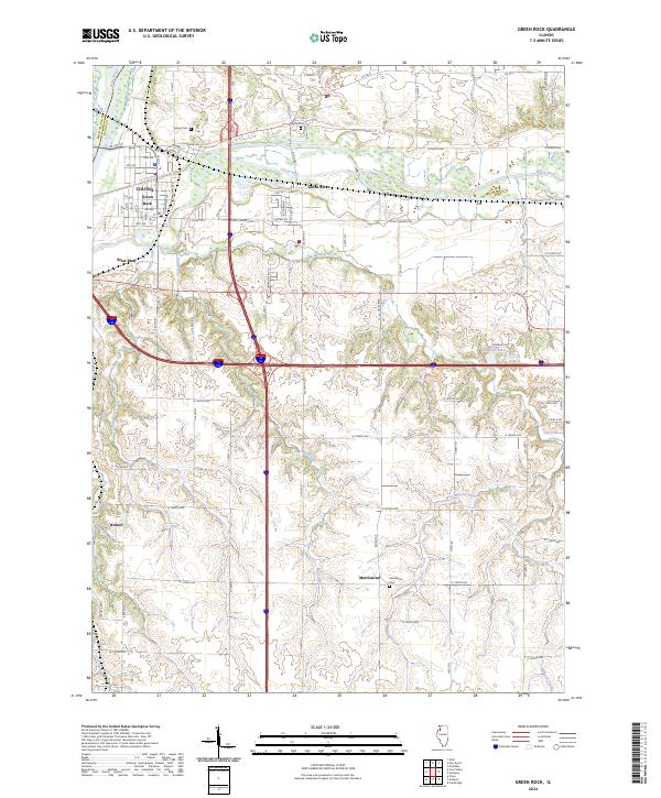
2024 Green Rock
Henry County, IL
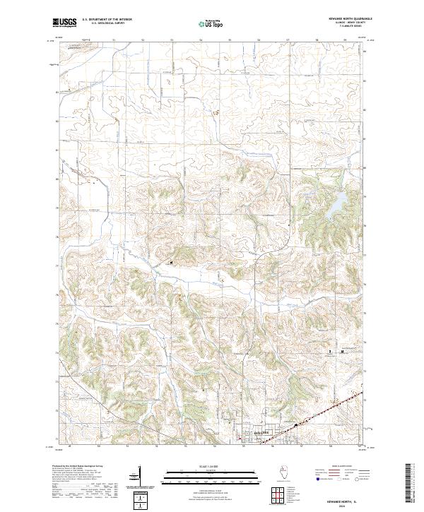
2024 Kewanee North
Henry County, IL
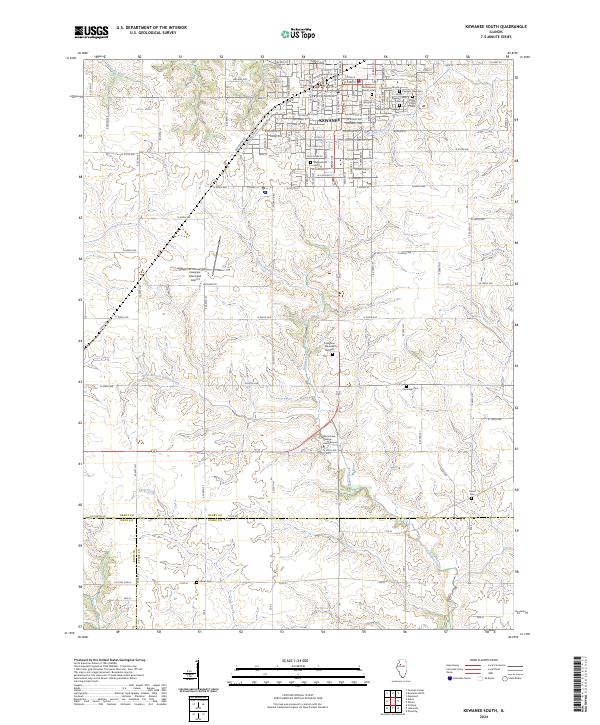
2024 Kewanee South
Henry County, IL
2024 Spring Hill
Henry County, IL