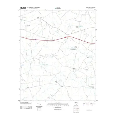
2011 Map of Spring Hill
USGS Topo · Published 2011About this map
Antioch and Red Hill serve as primary anchors in this rural landscape, which is defined by an intricate network of waterways and millponds. The presence of Shiver Millpond on Little Swift Creek and Corbitts Millpond further east illustrates the historical importance of localized water management and mill sites in the region. Small settlements like Spring Hill and Pisgah are connected by a web of local routes such as Antioch Rd and Lucknow Rd, reflecting a community structure tied to land and water. Genealogists and local historians can locate specific family-named landmarks including McCaskill Cemetery and Sand Hill Cemetery, while tracing the course of Swift Creek and Beaverdam Creek as they traverse the countryside. The geography shows a shift from organized settlement clusters toward the managed reservoirs of Windi Knoll Lake and McLeods Upper Pond.
Find a feature on this map
109 named features on this map. Tap any name to fly to it.
Don’t see what you’re looking for? This feature index may not catch every label — zoom into the map to look around manually.
Map Details
Editions of this 2011 Spring Hill Map
This is the sole edition of this map. No revisions or reprints were ever made.
Other maps of this area

1935 · Camden
USGS Topo · 1:48,000

1938 · Camden
USGS Topo · 1:62,500

1938 · Hagood
USGS Topo · 1:62,500

1941 · Spartanburg
USGS Topo · 1:250,000

1942 · Camden
USGS Topo · 1:125,000

1953 · Camden South
USGS Topo · 1:24,000

1953 · Rembert
USGS Topo · 1:24,000

1953 · Spartanburg
USGS Topo · 1:250,000

1957 · Ashwood
USGS Topo · 1:62,500

1960 · Spartanburg
USGS Topo · 1:250,000