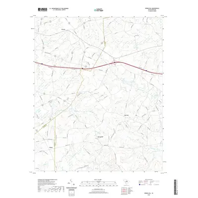
2020 Map of Spring Hill
USGS Topo · Published 2020About this map
Antioch and Spring Hill anchor this rural landscape where the boundaries of Kershaw, Sumter, and Lee counties meet. The area is defined by a dense network of watercourses and millponds, including the prominent Shiver Millpond and Corbetts Millpond, which speak to the historic reliance on local waterpower for milling and agriculture. Small settlements like Red Hill and Pisgah are connected by a web of county roads and nursery drives, reflecting a long-standing pattern of dispersed residential and farm life.
Find a feature on this map
108 named features on this map. Tap any name to fly to it.
Don’t see what you’re looking for? This feature index may not catch every label — zoom into the map to look around manually.
Map Details
Editions of this 2020 Spring Hill Map
This is the sole edition of this map. No revisions or reprints were ever made.
Other maps of this area

1935 · Camden
USGS Topo · 1:48,000

1938 · Camden
USGS Topo · 1:62,500

1938 · Hagood
USGS Topo · 1:62,500

1941 · Spartanburg
USGS Topo · 1:250,000

1942 · Camden
USGS Topo · 1:125,000

1953 · Camden South
USGS Topo · 1:24,000

1953 · Rembert
USGS Topo · 1:24,000

1953 · Spartanburg
USGS Topo · 1:250,000

1957 · Ashwood
USGS Topo · 1:62,500

1960 · Spartanburg
USGS Topo · 1:250,000