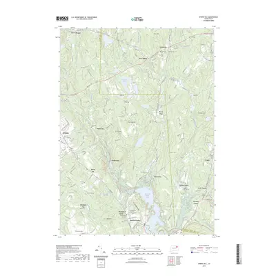
2023 Map of Spring Hill
USGS Topo · Published 2023About this map
Mansfield Hollow Lake and its surrounding state park dominate the southern landscape of this contemporary survey, where the confluence of the Fenton River and Mount Hope River meets the larger impoundment. The map documents a cluster of established settlements, including Mansfield Center, Mansfield Hollow, and Gurleyville, each maintaining its distinct identity amidst a heavily wooded and protected terrain. Regional conservation is evident through the extensive reaches of the Nipmuck State Forest and the winding paths of the Nipmuck Trl and Airline Trl.
Find a feature on this map
162 named features on this map. Tap any name to fly to it.
Don’t see what you’re looking for? This feature index may not catch every label — zoom into the map to look around manually.
Map Details
Editions of this 2023 Spring Hill Map
This is the sole edition of this map. No revisions or reprints were ever made.
Other maps of this area

1892 · Woodstock
USGS Topo · 1:62,500

1892 · Tolland
USGS Topo · 1:62,500

1892 · Norwich
USGS Topo · 1:62,500

1892 · Gilead
USGS Topo · 1:62,500

1921 · Tolland
USGS Topo · 1:62,500

1921 · Woodstock
USGS Topo · 1:62,500

1944 · South Coventry
USGS Topo · 1:31,680
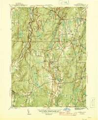
1944 · Hampton
USGS Topo · 1:31,680

1944 · Columbia
USGS Topo · 1:31,680
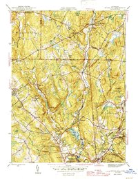
1945 · Spring Hill
USGS Topo · 1:31,680