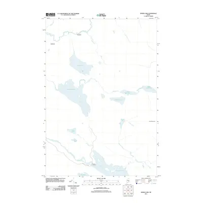
2011 Map of Spring Lake
USGS Topo · Published 2011About this map
Passadumkeag River winds through the northern reaches of this Maine landscape, setting a tone of remote watercourses and seasonal settlements. The map highlights a network of recreation and water management, notably featuring the Maple Grove Campground and Cold Spring Campground near the river's path. Further south, the terrain is dominated by an interconnected chain of lakes and streams, including Spring Lake and the various basins of the Pistol Lakes. The presence of the Nicatous Lake Dam at the northern tip of Nicatous Lake indicates the managed nature of these headwaters. This 2011 survey documents a region defined by its hydrography, from the slow-moving Porter Brook to the prominent rise of Duck Mountain in the east. Access is primarily limited to rugged routes like Nicatous Stream Rd, underscoring the area's character as a preserved pocket of the Maine woods.
Find a feature on this map
23 named features on this map. Tap any name to fly to it.
Don’t see what you’re looking for? This feature index may not catch every label — zoom into the map to look around manually.
Map Details
Editions of this 2011 Spring Lake Map
This is the sole edition of this map. No revisions or reprints were ever made.
Other maps of this area

1920 · Winn
USGS Topo · 1:62,500

1931 · Springfield
USGS Topo · 1:48,000

1931 · Saponac
USGS Topo · 1:48,000

1932 · Nicatous Lake
USGS Topo · 1:48,000

1934 · Saponac
USGS Topo · 1:62,500

1934 · Nicatous Lake
USGS Topo · 1:62,500

1934 · Springfield
USGS Topo · 1:62,500

1954 · Millinocket
USGS Topo · 1:250,000

1957 · Saponac
USGS Topo · 1:62,500

1958 · Millinocket
USGS Topo · 1:250,000