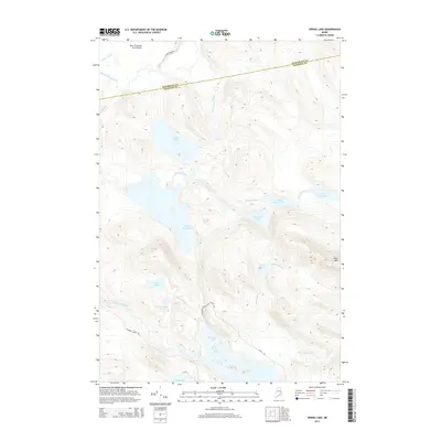
2014 Map of Spring Lake
USGS Topo · Published 2014About this map
Spring Lake and the interconnected waters of the Pistol Lake chain dominate this Maine interior landscape, where the boundary between Penobscot and Hancock counties cuts through dense woodlands and wetlands. The terrain is characterized by a complex glacial hydrography, featuring the expansive One Thousand Acre Heath to the northwest and the prominent elevation of Duck Mtn to the southeast. Waterways like the Passadumkeag River and Pistol Stream link numerous bodies of water, including Lower Pistol Lake, Middle Pistol Lake, and Upper Pistol Lake. Human footprint is light, primarily represented by remote access routes such as Nicatous Stream Rd and Weir Pond Rd, which serve the timberlands and seasonal camps around Nicatous Lake and Trueworthy Pond. This survey captures the region's character as a managed wilderness, where name-bearing ponds and brooks provide the primary navigational landmarks.
Find a feature on this map
24 named features on this map. Tap any name to fly to it.
Don’t see what you’re looking for? This feature index may not catch every label — zoom into the map to look around manually.
Map Details
Editions of this 2014 Spring Lake Map
This is the sole edition of this map. No revisions or reprints were ever made.
Other maps of this area

1920 · Winn
USGS Topo · 1:62,500

1931 · Springfield
USGS Topo · 1:48,000

1931 · Saponac
USGS Topo · 1:48,000

1932 · Nicatous Lake
USGS Topo · 1:48,000

1934 · Saponac
USGS Topo · 1:62,500

1934 · Nicatous Lake
USGS Topo · 1:62,500

1934 · Springfield
USGS Topo · 1:62,500

1954 · Millinocket
USGS Topo · 1:250,000

1957 · Saponac
USGS Topo · 1:62,500

1958 · Millinocket
USGS Topo · 1:250,000