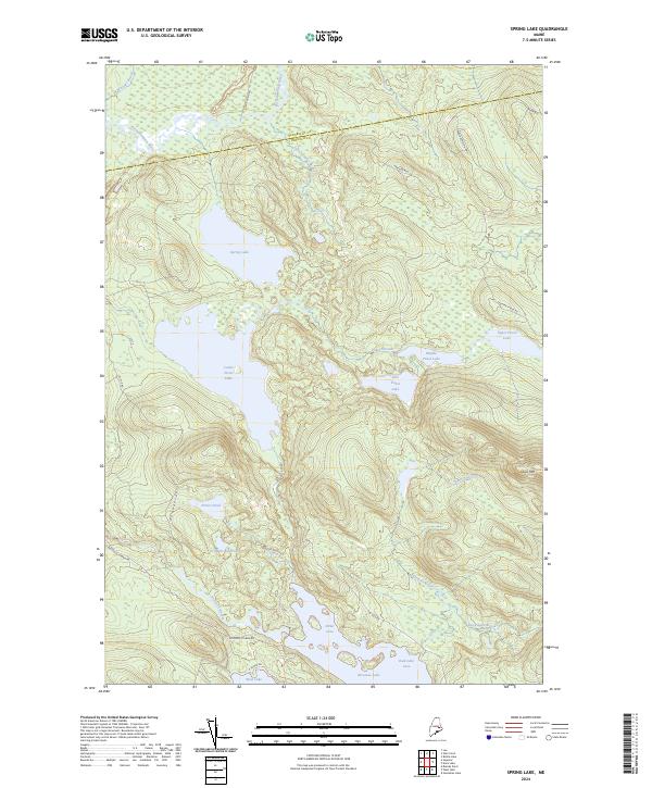
2024 Map of Spring Lake
USGS Topo · Published 2024About this map
The Penobscot County and Hancock County line divides this water-rich landscape in eastern Maine, where a complex chain of interconnected lakes and streams dominates the geography. Central to the map is the extensive Spring Lake, which feeds into a series of water bodies including Lower Pistol Lake, Middle Pistol Lake, and Upper Pistol Lake. These lakes are linked by Pistol Stream, illustrating a natural drainage pattern that eventually flows toward the larger Nicatous Lake at the southern margin.
Find a feature on this map
34 named features on this map. Tap any name to fly to it.
Don’t see what you’re looking for? This feature index may not catch every label — zoom into the map to look around manually.
Map Details
Editions of this 2024 Spring Lake Map
This is the sole edition of this map. No revisions or reprints were ever made.
Other maps of this area

1920 · Winn
USGS Topo · 1:62,500

1931 · Springfield
USGS Topo · 1:48,000

1931 · Saponac
USGS Topo · 1:48,000

1932 · Nicatous Lake
USGS Topo · 1:48,000

1934 · Saponac
USGS Topo · 1:62,500

1934 · Nicatous Lake
USGS Topo · 1:62,500

1934 · Springfield
USGS Topo · 1:62,500

1954 · Millinocket
USGS Topo · 1:250,000

1957 · Saponac
USGS Topo · 1:62,500

1958 · Millinocket
USGS Topo · 1:250,000