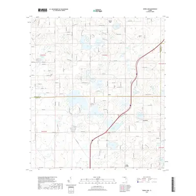
2018 Map of Spring Lake
USGS Topo · Published 2018About this map
Hancock Lake and Middle Lake sit at the center of this terrain, marking the boundary between Hernando and Pasco counties. The landscape is defined by a high concentration of karst ponds and named lakes, including Neff Lake, Sparkman Lake, and Lake Iola. Settled areas such as Spring Lake, Dixie, Jessamine, and Saint Joseph are connected by a network of local roads that navigate around these water bodies and the prominent rise of Hickory Hill. Genealogical interests are served by the presence of the Townsend House Cem, Johnson Cem, and Twin Lakes Cem, which offer physical markers of the area's rural history. The proximity of these cemeteries to historic crossroads like Saint Joseph provides a clear view of how communities organized around the high ground and water resources in this part of Florida.
Find a feature on this map
136 named features on this map. Tap any name to fly to it.
Don’t see what you’re looking for? This feature index may not catch every label — zoom into the map to look around manually.
Map Details
Editions of this 2018 Spring Lake Map
This is the sole edition of this map. No revisions or reprints were ever made.
Other maps of this area

1954 · Spring Lake
USGS Topo · 1:24,000

1954 · Ehren
USGS Topo · 1:24,000

1954 · San Antonio
USGS Topo · 1:24,000

1954 · Brooksville
USGS Topo · 1:24,000

1954 · Masaryktown
USGS Topo · 1:24,000

1954 · Brooksville SE
USGS Topo · 1:24,000

1955 · Plant City
USGS Topo · 1:250,000

1958 · Plant City
USGS Topo · 1:250,000

1958 · Saint Catherine
USGS Topo · 1:24,000

1959 · Plant City
USGS Topo · 1:250,000