
1958 Map of Saint Catherine
USGS Topo · Published 1960About this map
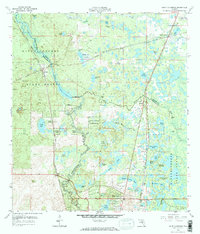
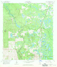
The junction of the Atlantic Coast Line and Seaboard Air Line railroads at Saint Catherine defines this mid-century Florida landscape. Situated along the boundary of Sumter and Hernando counties, the area is characterized by the winding path of the Little Withlacoochee River and the sprawling acreage of the Withlacoochee State Forest. The map documents a transition from industrial activity, seen in the various Quarry and Phosphate Pit locations, to early residential and recreational development like the Golf Course and Drive-in Theater near Ridge Manor.
Find a feature on this map
59 named features on this map. Tap any name to fly to it.
Don’t see what you’re looking for? This feature index may not catch every label — zoom into the map to look around manually.
Map Details
Editions of this 1958 Saint Catherine Map
3 editions found
Other maps of this area

1954 · Spring Lake
USGS Topo · 1:24,000

1954 · Nobleton
USGS Topo · 1:24,000

1954 · Brooksville SE
USGS Topo · 1:24,000

1955 · Plant City
USGS Topo · 1:250,000

1958 · Plant City
USGS Topo · 1:250,000

1958 · Webster
USGS Topo · 1:24,000

1958 · Bushnell
USGS Topo · 1:24,000

1958 · Wahoo
USGS Topo · 1:24,000

1959 · Plant City
USGS Topo · 1:250,000

1960 · Lacoochee
USGS Topo · 1:24,000