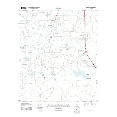
2011 Map of Spring Lake
USGS Topo · Published 2011About this map
Iron Springs and East End serve as central hubs in this early 21st-century landscape, where residential development and private lakes shape the Pulaski County terrain. The area is defined by an intricate network of dammed water bodies, including Spring Lake, Ferguson Lake, and Clearlake Reservoir, each managed by significant infrastructure like the Spring Lake Dam and Ferguson Lake Dam. These reservoirs are fed by a dense system of tributaries such as Lorance Creek and Clear Creek.
Find a feature on this map
108 named features on this map. Tap any name to fly to it.
Don’t see what you’re looking for? This feature index may not catch every label — zoom into the map to look around manually.
Map Details
Editions of this 2011 Spring Lake Map
This is the sole edition of this map. No revisions or reprints were ever made.
Other maps of this area

1891 · Little Rock
USGS Topo · 1:125,000

1893 · Little Rock
USGS Topo · 1:125,000

1932 · Pastoria
USGS Topo · 1:62,500

1935 · Little Rock
USGS Topo · 1:24,000

1935 · Sweet Home
USGS Topo · 1:24,000

1935 · Alexander
USGS Topo · 1:48,000

1935 · Pastoria
USGS Topo · 1:62,500

1940 · Woodson
USGS Topo · 1:31,680

1941 · Alexander
USGS Topo · 1:62,500

1944 · Alexander
USGS Topo · 1:31,680